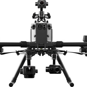
Proof-of-Concept and Demo at Abu Dhabi – DJI Matrice 300 RTK with P1
Sanju Mathew, Sales Manager, Aeromotus Dubai (DJI Enterprise Drone Solution)
Saif Bin Darwish, Abu Dhabi, United Arab Emirates
Purpose of the POC / Demo
Summary
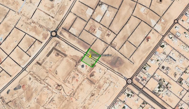
Aeromotus conducted a Drone-based Topographic Survey with Saif Bin Darwish at Abu Dhabi at one of their live construction projects, i.e., Zayed City in Abu Dhabi. The purpose of this POC was for the Saif Bin Darwish to achieve 0.75cm GSD accuracy from DJI’s Matrice300RTK with DJI Zenmuse P1 and to compare the productivity, efficiency they have achieved using DJI’s Matrice300RTK with DJI Zenmuse P1 over conventional survey and ground topographic methodologies. Outputs generated from the POC were OrthoMaps, Point Cloud, 3D Model using DJI Terra.
Summary / Findings from POC
| Drone/ Camera Model | DJI Matrice300 RTK / DJI Zenmuse P1 |
| Area Covered | 2.53 Ha |
| Total Flight Time | 15 minutes |
| No of Images Captured | 543 |
| Total Size of Raw Images | 4.9 GB |
| Processing Time – Ortho + DSM | 73 minutes |
| Processing Time – Point Cloud + 3D Model | 313 minutes |
Survey Location
HSE
Drones for Survey & Measurement
- DJI’s Matrice300RTK with DJI Zenmuse P1 with DJI’s DRTK Mobile Station for Matrice Series.
-
DJI ZENMUSE XT, Z3, Z30, X7, X5, H, GIMBALS, CAMERAS, SENSORS
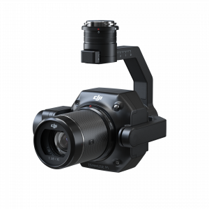
DJI Zenmuse P1
0 out of 5(0)The Zenmuse P1 integrates a full-frame sensor with interchangeable fixed-focus lenses on a 3-axis stabilized gimbal. Designed for photogrammetry flight missions, it takes efficiency and accuracy to a whole new level.
SKU: n/a -
DJI MATRICE, RTK/PPK
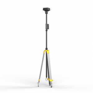
D-RTK Mobile Station For Matrice Series
0 out of 5(0)D-RTK 2 Mobile Station is DJI’s upgraded high-precision GNSS receiver that supports all major global satellite navigation systems, providing real-time differential corrections that generate centimeter-level positioning data for improved relative accuracy.
SKU: n/a
Methodology
1. Pre – Survey
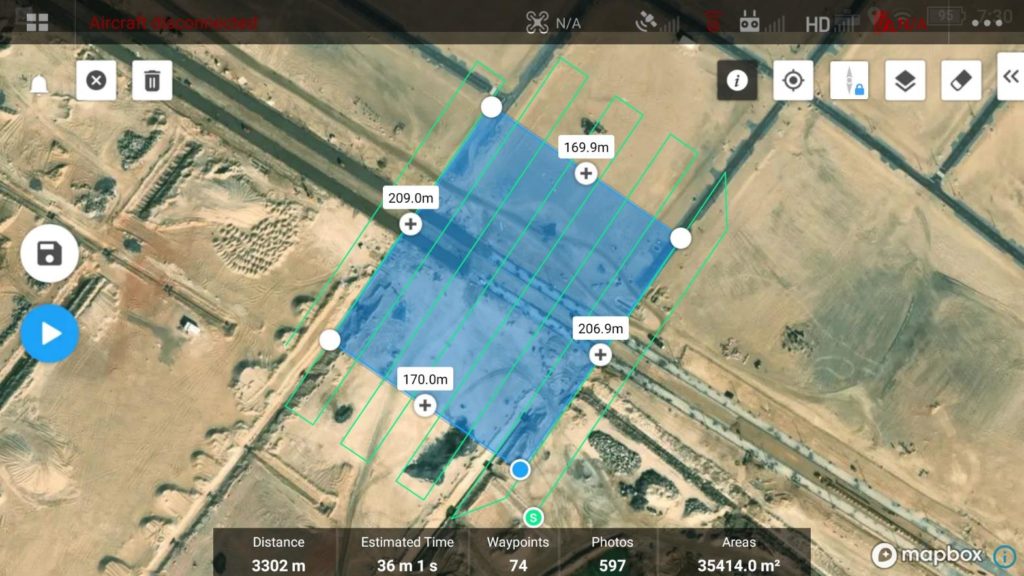
- The mission plans were created using DJI’s DJI Pilot App on DJI Smart Controller.
- The flight altitude was set to 60m above ground.
- The side overlap was set to 65% and front overlap was set to 75%.
- The images were captured with GSD of 0.75cm/pixel.
2. Realtime Georeferencing at Site
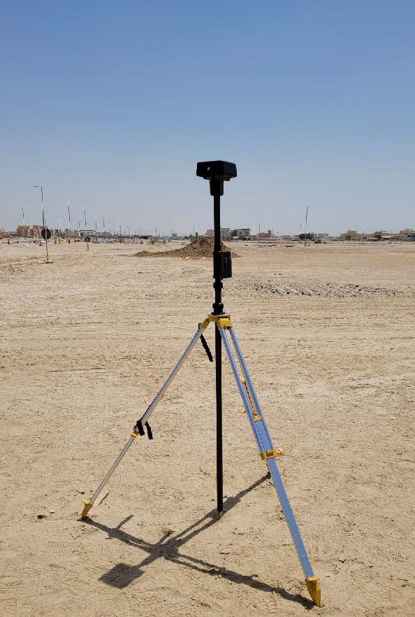
- Base Station (D-RTK2) was setup at the following coordinates:
Easting: 257326.241m
Northing: 2696114.658m
Elevation: 4.871m
- Drone Mission take off at 10am.
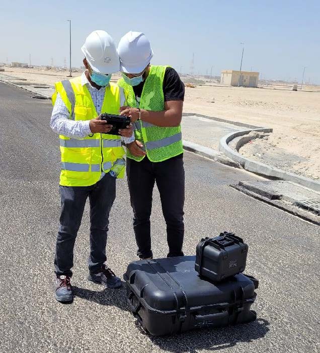
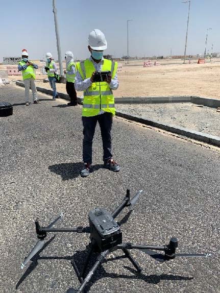
Setting up DJI Matrice300RTK with DJI Zenmuse P1
3. Data Processing
- DJI Terra was used to process the images.
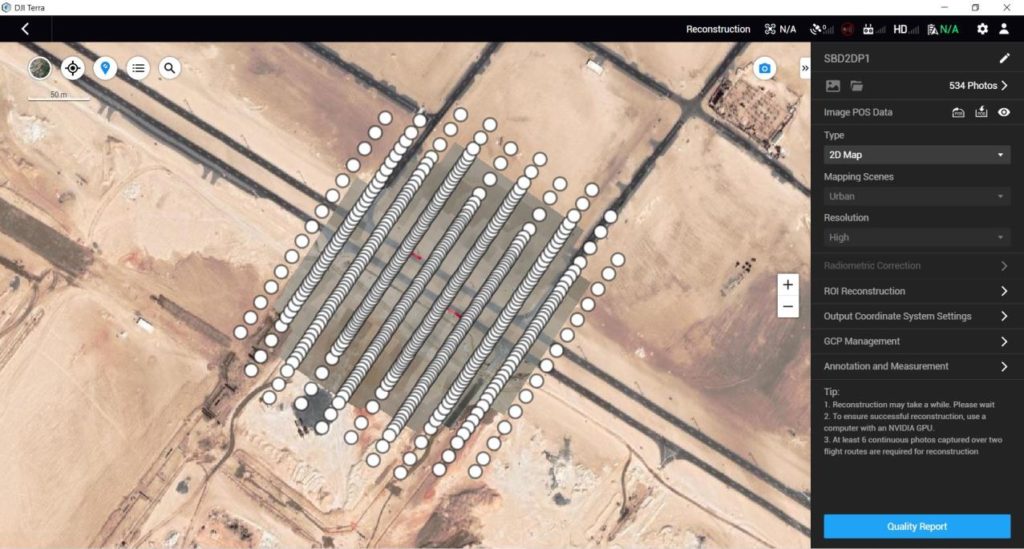
Summary / Findings from POC
| Camera Model | DJI Zenmuse P1 |
| Area Covered | 2.53 Ha |
| Total Flight Time | 15 minutes |
| No of Images Captured | 543 |
| Total Size of Raw Images | 4.9 GB |
| Processing Time – Ortho + DSM | 73 minutes |
| Processing Time – Point Cloud + 3D Model | 313 minutes |
| Processing Resolution 2D and 3D Reconstruction | High |
| Data Output formats | Point Cloud in LAS, 3D Model in OBJ, PLY, OSGB |
Results and Data Representation
Contact form
Email us with any questions or inquiries or use our contact data. We would be happy to answer your questions.

