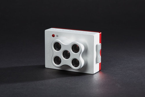
MICASENSE RedEdge MX

Professional Multispectral Sensor Kit

  • New metal case for extreme durability
  • New DLS 2 for enhanced light calibration
  • Captures five narrow spectral bands
  • Generates plant health indexes and RGB (color) images from one flight
  • Designed for easy and flexible integration
  • Calibrated for precise, repeatable measurements
  • Operates in temperatures up to 60℃ or 140℉

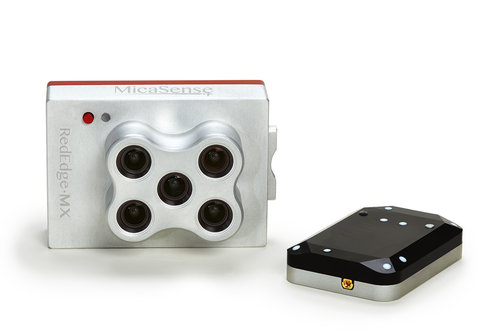
Kit includes: RedEdge-MX, DLS 2 with embedded GPS, Calibrated Reflectance Panel, lens cover and hard carrying case.

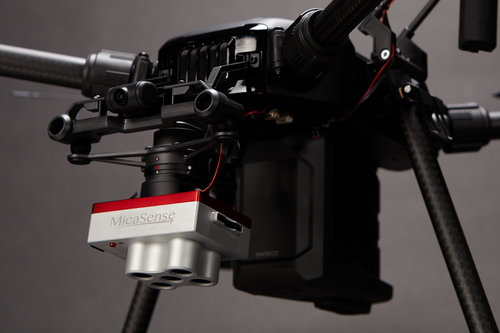
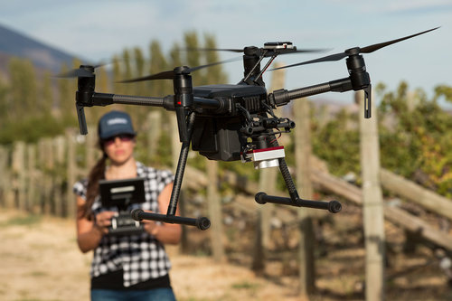
Through the DJI SkyPort adapter, mounting and powering both the Altum and RedEdge-MX is simple and quick. Need to switch out a sensor? Simply twist the quick connect mount and remove the sensor. Ready to fly again? Twist the mount back in place and you are ready to go.

Our rugged, built-to-last, professional multispectral sensor for agricultural drone mapping. Same technology as RedEdge-M, now ready to integrate with DJI SkyPort enabled drones.

  • Five narrow band multispectral sensors.
  • Capture plant health images and RGB (color) images in one flight.
  • High image resolution; 8 cm/pixel at 400 ft (120 m).
  • Single SD card stores all images with geotags.
  • DLS 2 with embedded GPS for easier integration, enhanced light calibration.

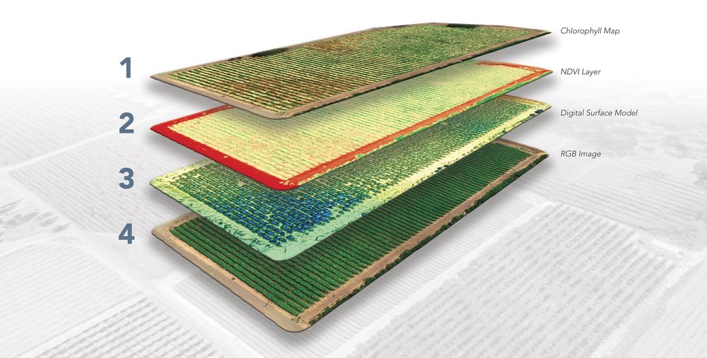
  1. Chlorophyll Map: The red edge spectral band is the star here, working in conjunction with the other bands to provide a more accurate measure of not just plant vigor but plant health.
  2. NDVI Layer: This commonly known index compares the reflectance of the red band with that of the near-infrared band. However, this index alone provides limited information. 
  3. Digital Surface Model: A DSM is an astonishingly advantageous tool in any agronomist’s arsenal, primarily because of its use in evaluating surface properties and water flow.
  4. RGB Image: RedEdge-MX features global shutters for distortion-free images, including narrowband red, green, and blue bands for RGB color images that when processed are aligned to all visible and non-visible bands and vegetation indices.

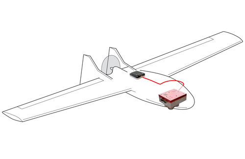
RedEdge-MX is action-ready, integrating seamlessly no matter the platform.

It has a compact design and is lightweight to work with as many drone models as possible. See integration kits available.
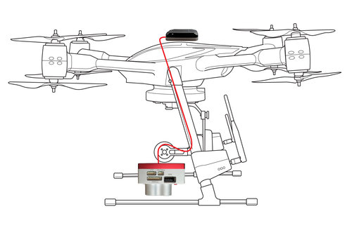
Weight: 231.9 g (8.18 oz.)
(includes DLS 2 and cables)
Dimensions: 8.7cm x 5.9cm x 4.54cm
(3.4in x 2.3in x 1.8in)
External Power: 4.2 V DC – 15.8 V DC
4 W nominal, 8 W peak
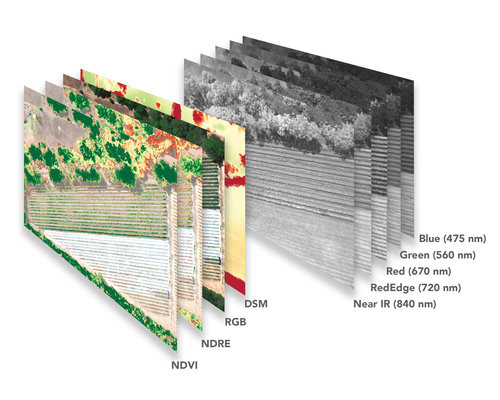
Spectral Bands: Blue, green, red, red edge, near-IR
(global shutter, narrowband)
Wavelength (nm): Blue (475 nm center, 20 nm bandwidth), green (560 nm center, 20 nm bandwidth), red (668 nm center, 10 nm bandwidth), red edge (717 nm center, 10 nm bandwidth), near-IR (840 nm center, 40 nm bandwidth)
RGB Color Output: Global shutter, aligned with all bands
Ground Sample Distance (GSD): 8 cm per pixel (per band) at 120 m (~400 ft) AGL
Capture Rate: 1 capture per second (all bands), 12-bit RAW
Interfaces: Serial, 10/100/1000 ethernet, removable Wi-Fi, external trigger, GPS, SDHC
Field of View: 47.2° HFOV
Triggering Options: Timer mode, overlap mode, external trigger mode (PWM, GPIO, serial, and Ethernet options), manual capture mode

Based on 0 reviews

0.0 overall
0
0
0
0
0

Be the first to review “MICASENSE RedEdge MX”

There are no reviews yet.

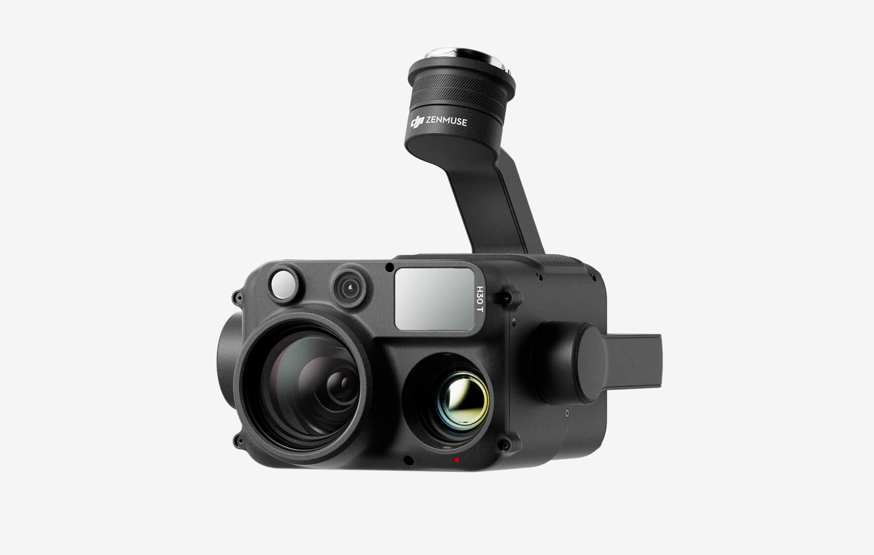
DJI Zenmuse H30T

The all-weather, multi-sensor flagship Zenmuse H30 Series integrates five major modules—a wide-angle camera, a zoom camera, an infrared thermal camera, a laser range finder, and an NIR auxiliary light. Employing cutting-edge intelligent algorithms, it revolutionizes perception and imaging standards, transcending the limitations of day and night vision. This makes it effortlessly suitable for a variety of operations, including public safety, energy inspection, water conservation, and forestry.

Buy
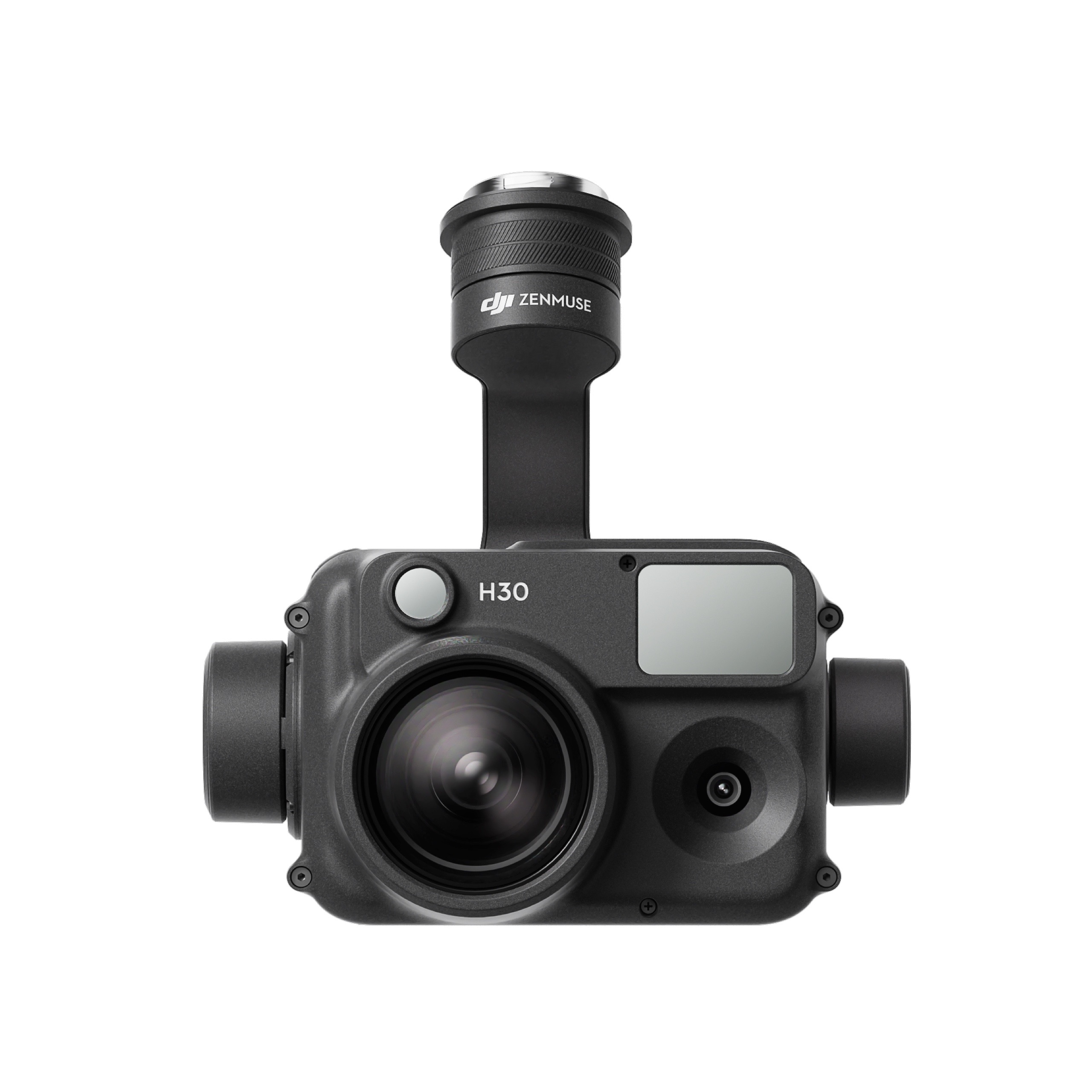
DJI Zenmuse H30

The all-weather, multi-sensor flagship Zenmuse H30 Series integrates five major modules—a wide-angle camera, a zoom camera, an infrared thermal camera, a laser range finder, and an NIR auxiliary light. Employing cutting-edge intelligent algorithms, it revolutionizes perception and imaging standards, transcending the limitations of day and night vision. This makes it effortlessly suitable for a variety of operations, including public safety, energy inspection, water conservation, and forestry.

Buy
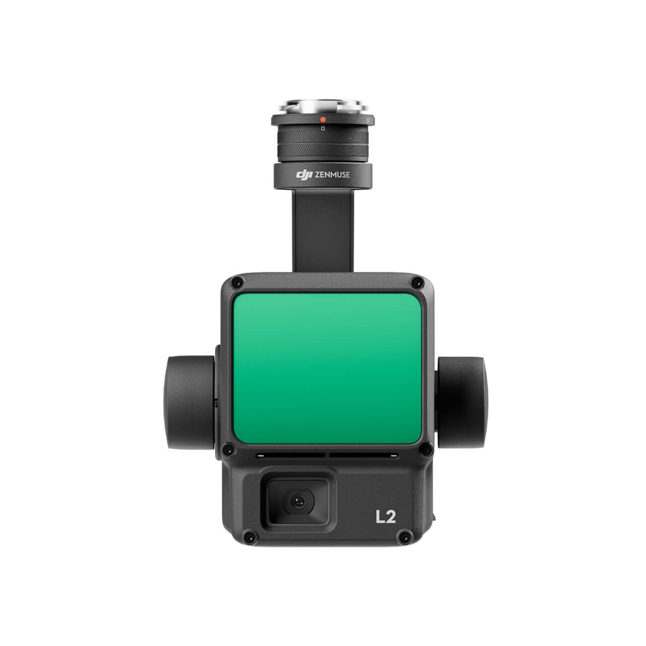
DJI Zenmuse L2 (LiDAR)
  • High Precision
  • Exceptional Efficiency
  • Superior Penetration
  • 250m/450m Detection Range
  • 5 Returns
  • Turnkey Solution
  • Point Cloud LiveView
  • One-Click Processing on DJI Terra
Buy
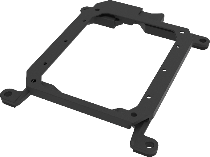
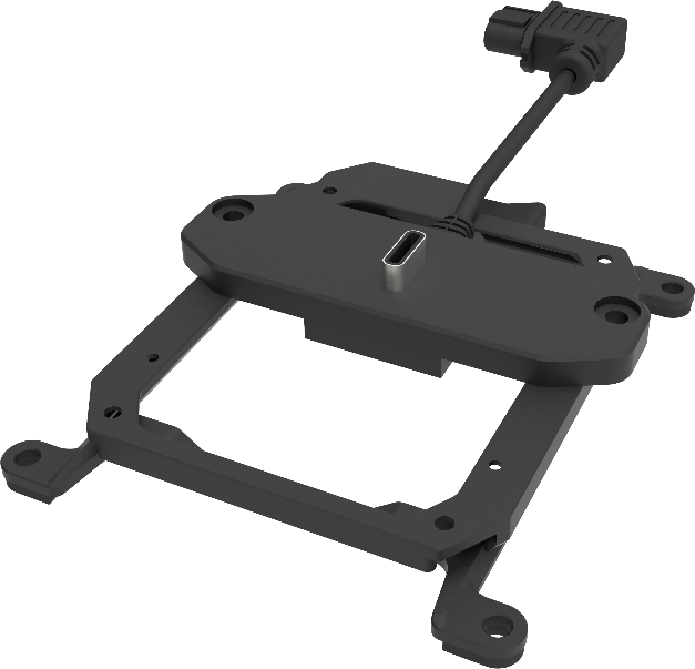
M30 PSDK ADAPTER BRACKET

The PSDK load can be fixed to the M30 series flight platform, and different types of PSDK loads can be quickly removed and replaced.

Buy

Inquire price for

    ×