Pix4D BIM 

Visualize, measure and verify as-built data of your site using flexible image processing options on either desktop or cloud. Deliverables can be analyzed and shared via a cloud-based server and compared to BIM as-design or schedule drawings.

Category Tag

Pix4D BIM 

Visualize, measure and verify as-built data of your site using flexible image processing options on either desktop or cloud. Deliverables can be analyzed and shared via a cloud-based server and compared to BIM as-design or schedule drawings.

Cloud Processing. Automatic cloud processing that enables hardware-free, tailored workflows.
Powerful Desktop Editing + Analysis. Detailed editing on desktop, with measurement, volume, contour and inspection capabilities.
Cloud Timeline + BIM Comparison. Results are displayed in 2D and 3D on an intuitive Pix4Dbim timeline where they can be viewed, measured, or annotated.

Скриншот 12-08-2018 143440

Photorealistic 3D Models for Measurements

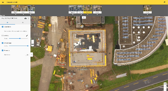
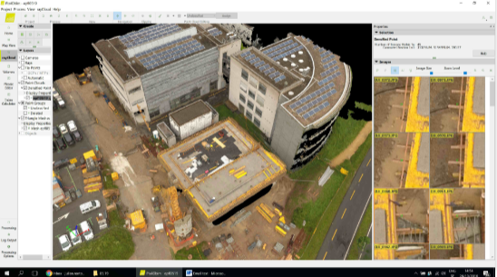
Pix4Dbim desktop creates 3D models, surface and volume measurements, contours, and general visualization. Original high resolution images can be viewed for inspection purposes by clicking on any point of the 3D model.

Скриншот 12-08-2018 143449

Cloud-Based Timeline

Data collected regularly is displayed on an easy-to-visualize timeline in the cloud, which shows site progress. The 2D and 3D data can be accessed from here, as well as annotated, measured, and shared.

Скриншот 12-08-2018 143455

BIM Comparison for As-Built vs As-Design

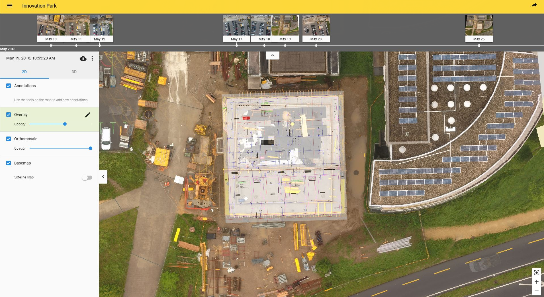
Import drawings to the Pix4Dbim cloud, so as-built orthophotos can be compared with as-design drawings. Construction errors can be spotted early this way, before they impact later stages of the build. Alternatively, schedule diagrams derived from the BIM application can be imported and compared to ensure the project is on-track.

Category: Tag:

Based on 0 reviews

0.0 overall
0
0
0
0
0

Be the first to review “Pix4D BIM ”

There are no reviews yet.

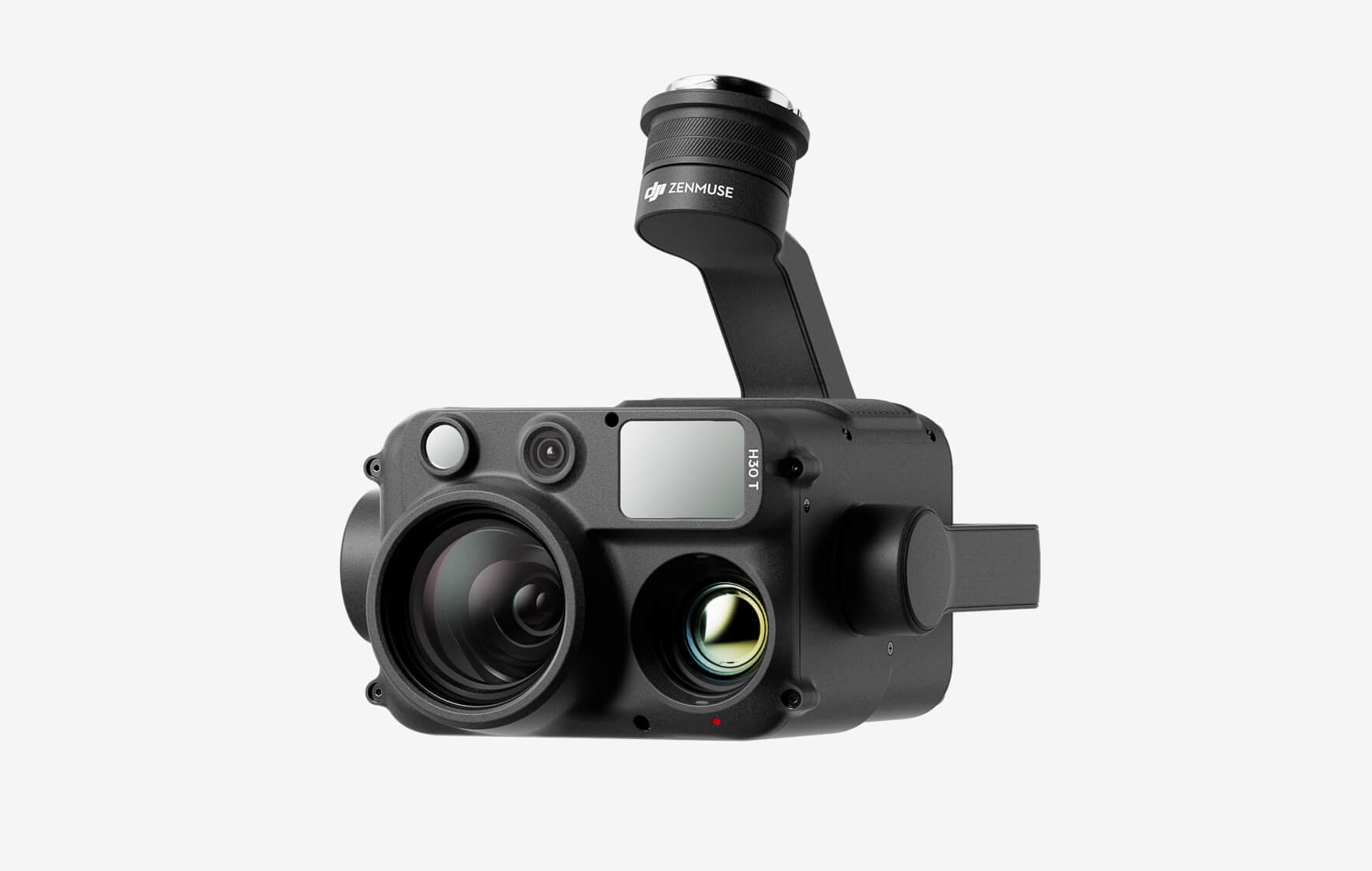
DJI Zenmuse H30T

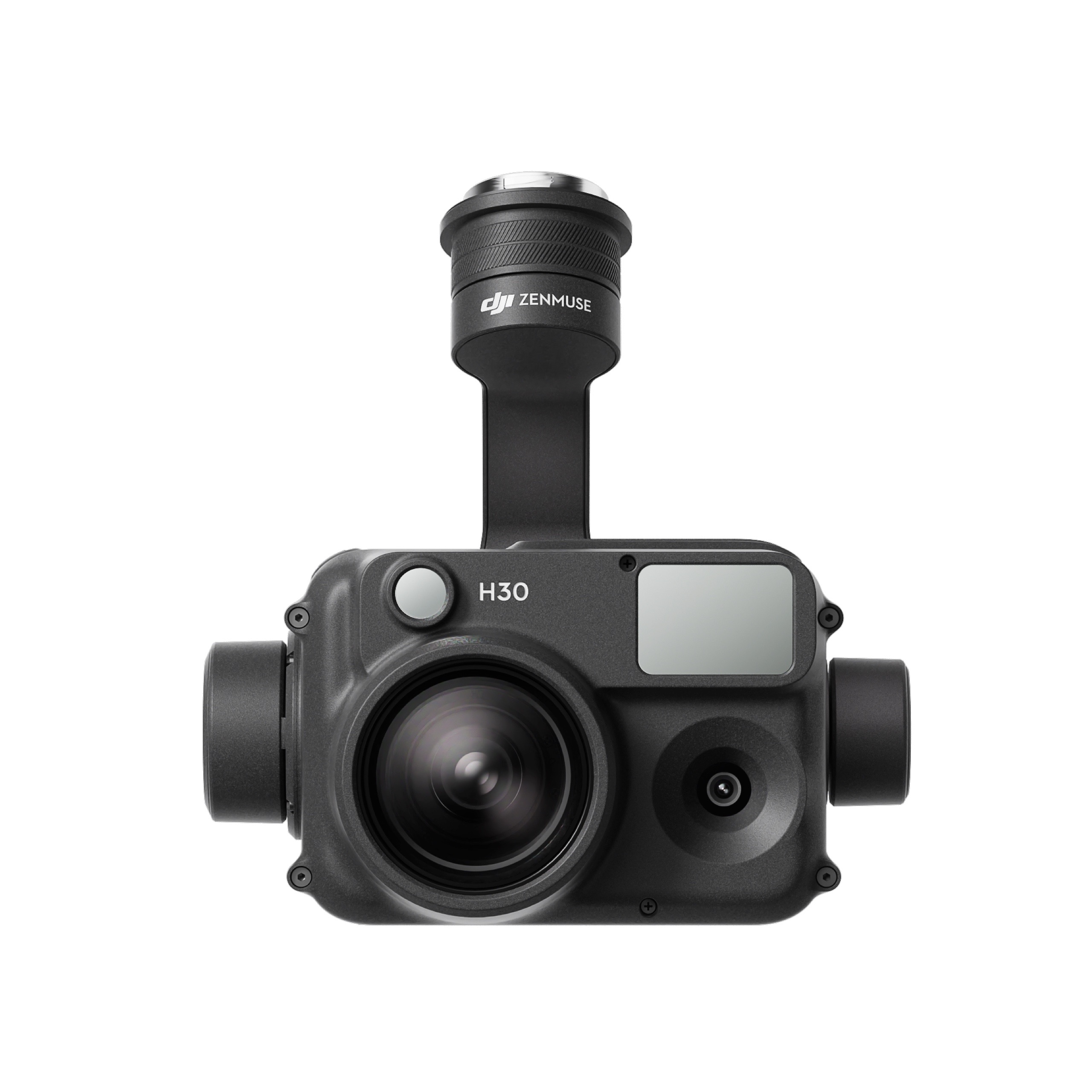
The all-weather, multi-sensor flagship Zenmuse H30 Series integrates five major modules—a wide-angle camera, a zoom camera, an infrared thermal camera, a laser range finder, and an NIR auxiliary light. Employing cutting-edge intelligent algorithms, it revolutionizes perception and imaging standards, transcending the limitations of day and night vision. This makes it effortlessly suitable for a variety of operations, including public safety, energy inspection, water conservation, and forestry.

Buy
DJI Zenmuse H30

The all-weather, multi-sensor flagship Zenmuse H30 Series integrates five major modules—a wide-angle camera, a zoom camera, an infrared thermal camera, a laser range finder, and an NIR auxiliary light. Employing cutting-edge intelligent algorithms, it revolutionizes perception and imaging standards, transcending the limitations of day and night vision. This makes it effortlessly suitable for a variety of operations, including public safety, energy inspection, water conservation, and forestry.
Buy
DJI Zenmuse L2 (LiDAR)
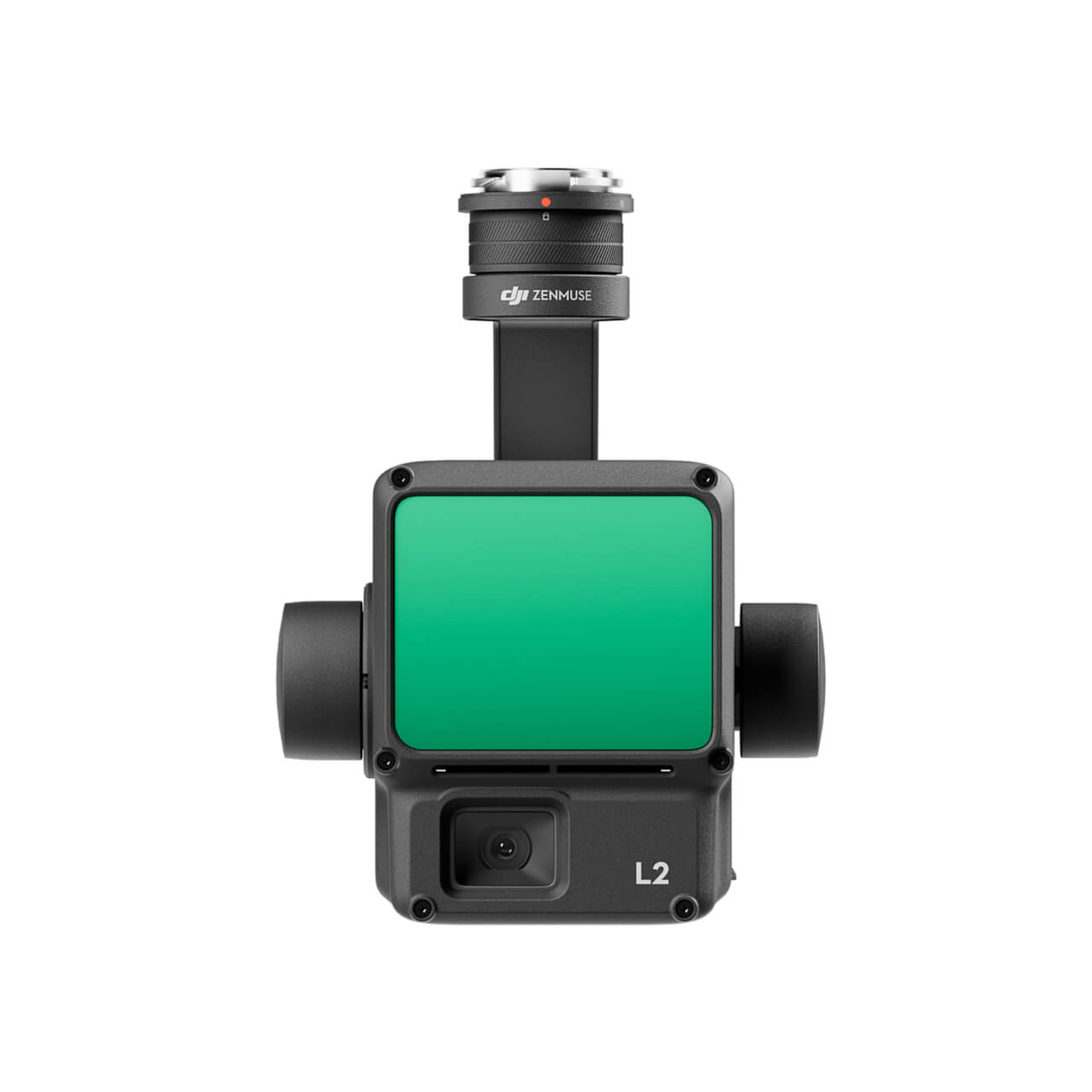
  • High Precision
  • Exceptional Efficiency
  • Superior Penetration
  • 250m/450m Detection Range
  • 5 Returns
  • Turnkey Solution
  • Point Cloud LiveView
  • One-Click Processing on DJI Terra
Buy
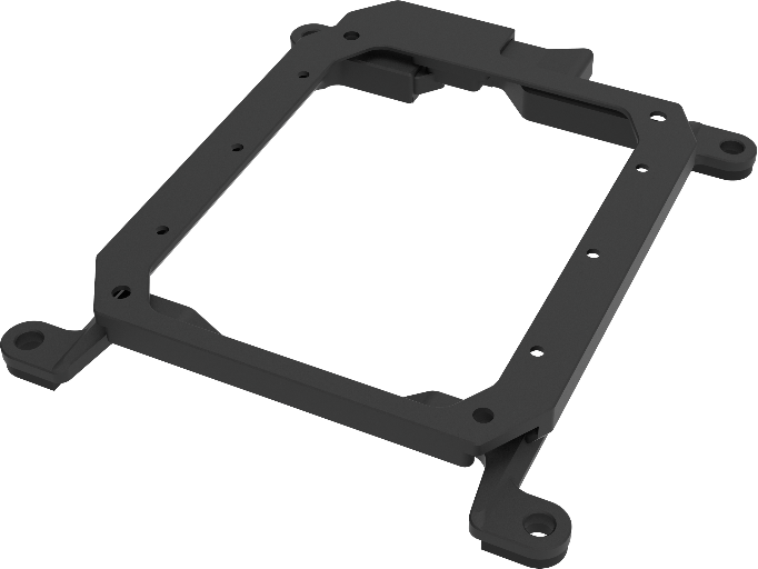
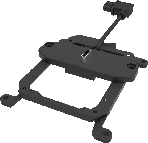
M30 PSDK ADAPTER BRACKET

The PSDK load can be fixed to the M30 series flight platform, and different types of PSDK loads can be quickly removed and replaced.

Buy

Inquire price for

    ×