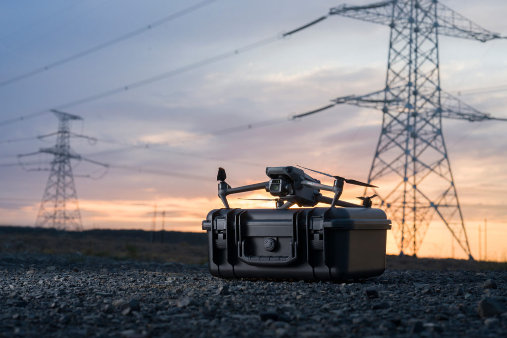
Table of contents On September 27, 2022, DJI introduced the Mavic 3 Enterprise, a new series of portable industrial drones. The new Mavic 3 Enterprise line includes 2 drones: DJI
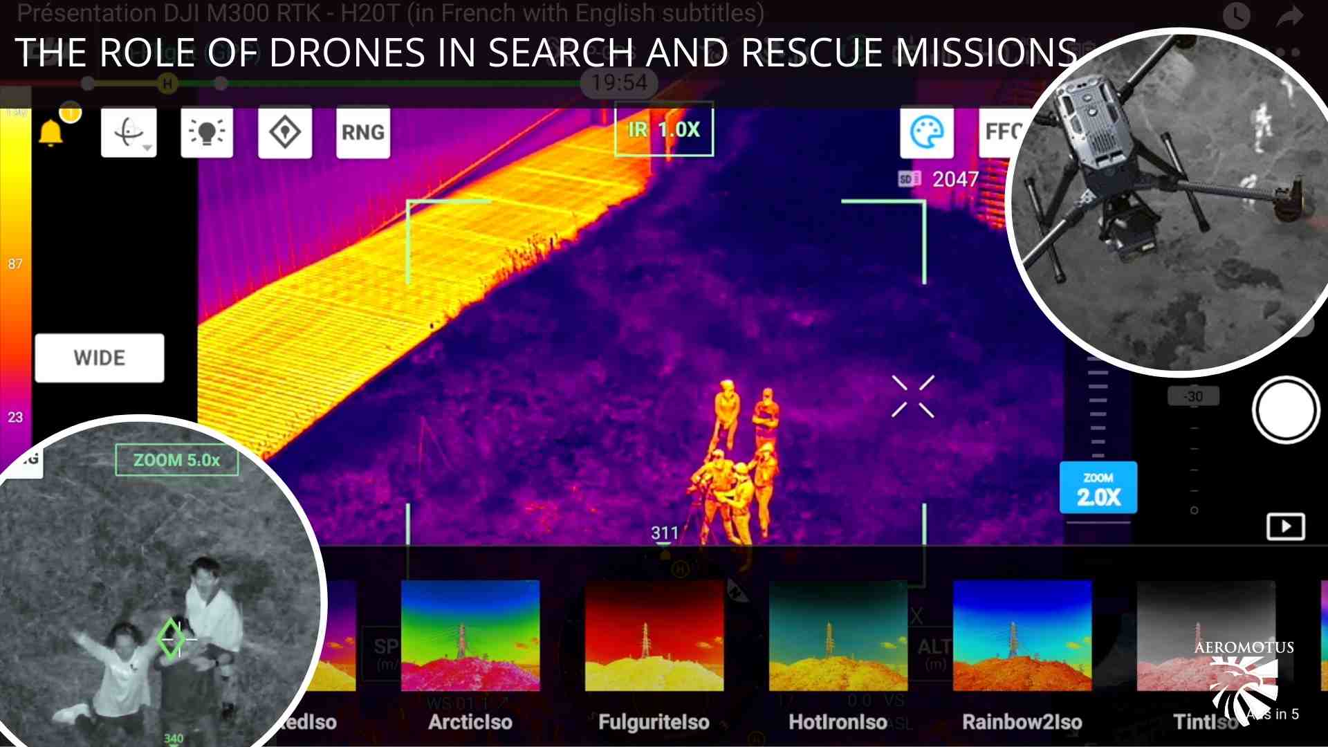
The Role of Drones In Search and Rescue Missions
Drones are gradually becoming the most widely used tools for an array of industries so far. From Fire and Police departments to farms, UAVs have become must-have tools for safety
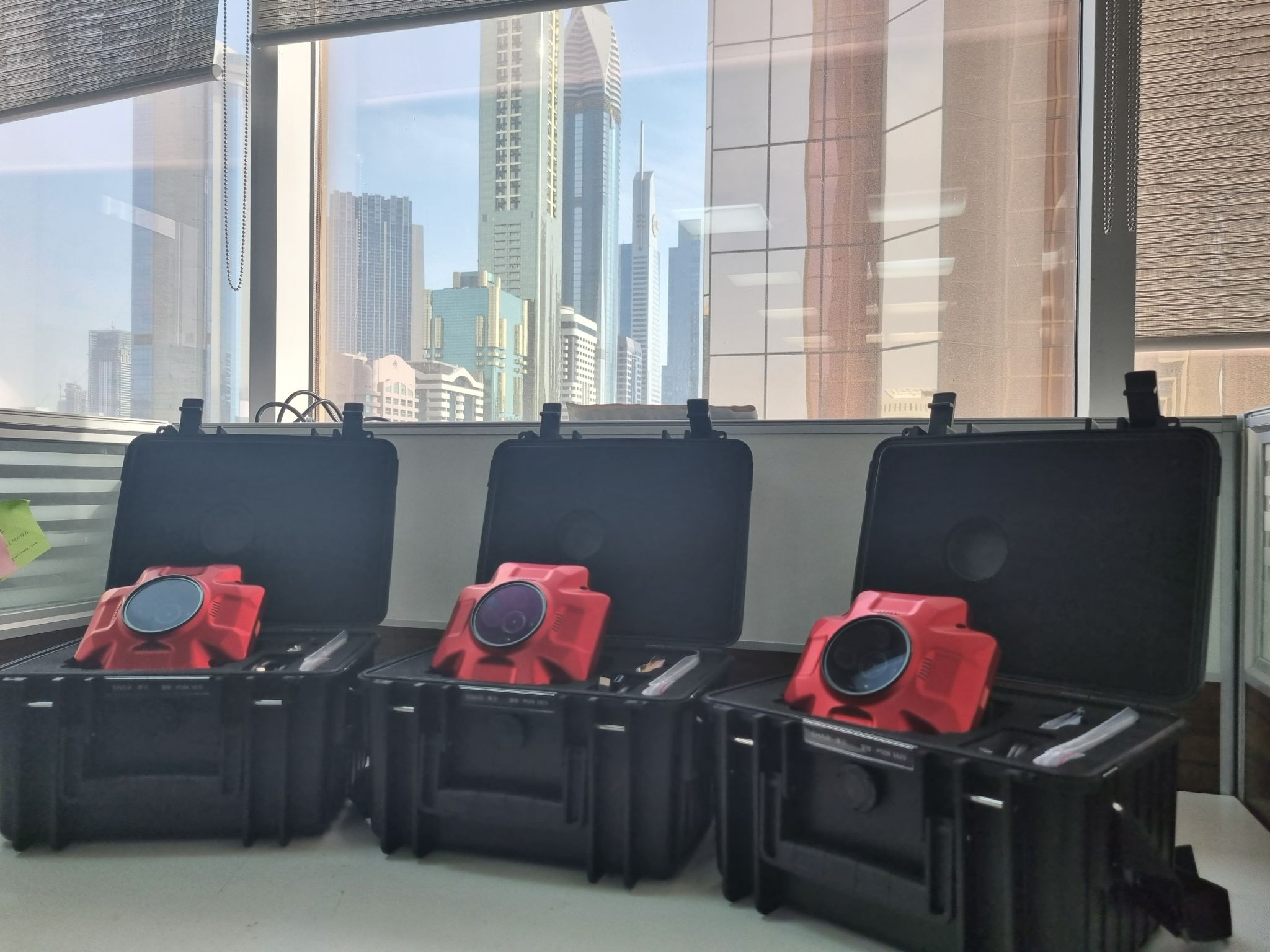
Share UAV Cameras: A Detailed Overview of All Cameras’ Features
In this comprehensive post, we won’t be talking about the importance of drones in various industries. We’ll dive deeper into the theme of aerial surveying and take a closer look
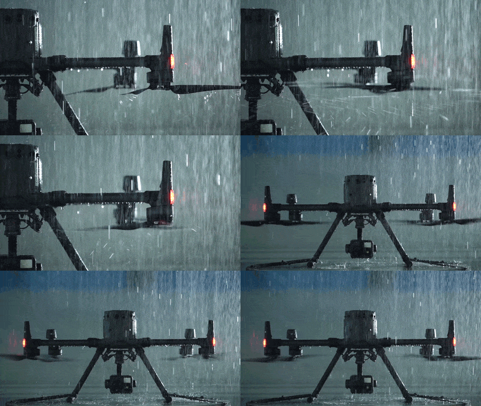
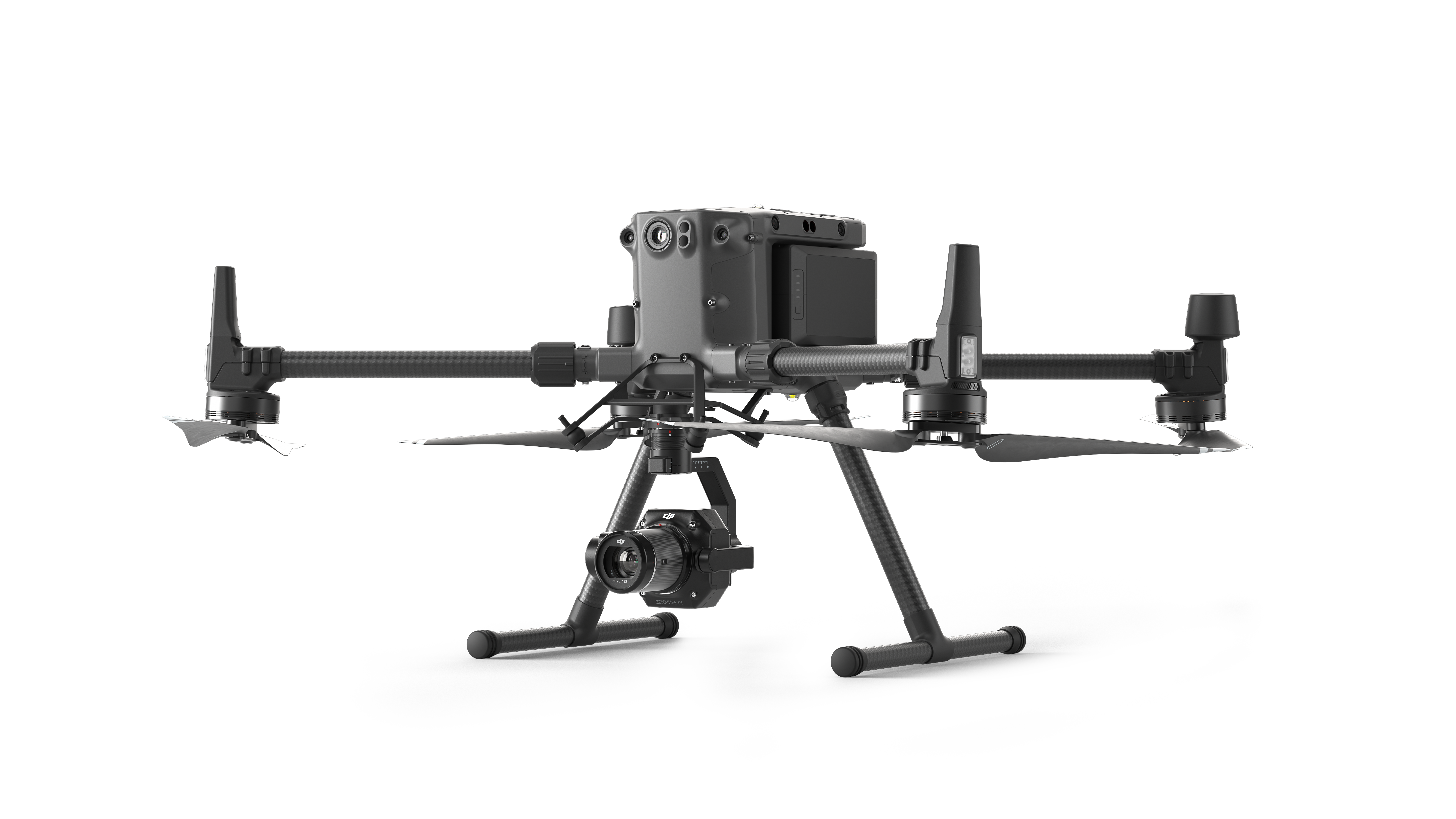
Matrice 300 RTK: Is It Weather Resistant?
Do you know that the success of your flights depends on weather? To have a powerful drone is a must, but the weather can spoil everything. If it’s raining, you
How DJI Drones Are Tested Before They Go on Sale
You know that before a drone goes on sale, this device must undergo a few durability and weather tests. Let’s go behind the closed doors of DJI’s durability lab and
Fixed Wing or Multirotor: Which One Is a Perfect Tool for Aerial Surveying?
Aerial surveys allow us to gather data with much better precision and create detailed reports in a safer and more cost-effective way. Whether you have an important construction project or
M300 RTK Three Propeller Emergency Landing
M300 RTK drone comes with the Three Propeller Emergency Landing Mode and in this post, we’ll take a closer look at how it works. The main goal of this mode
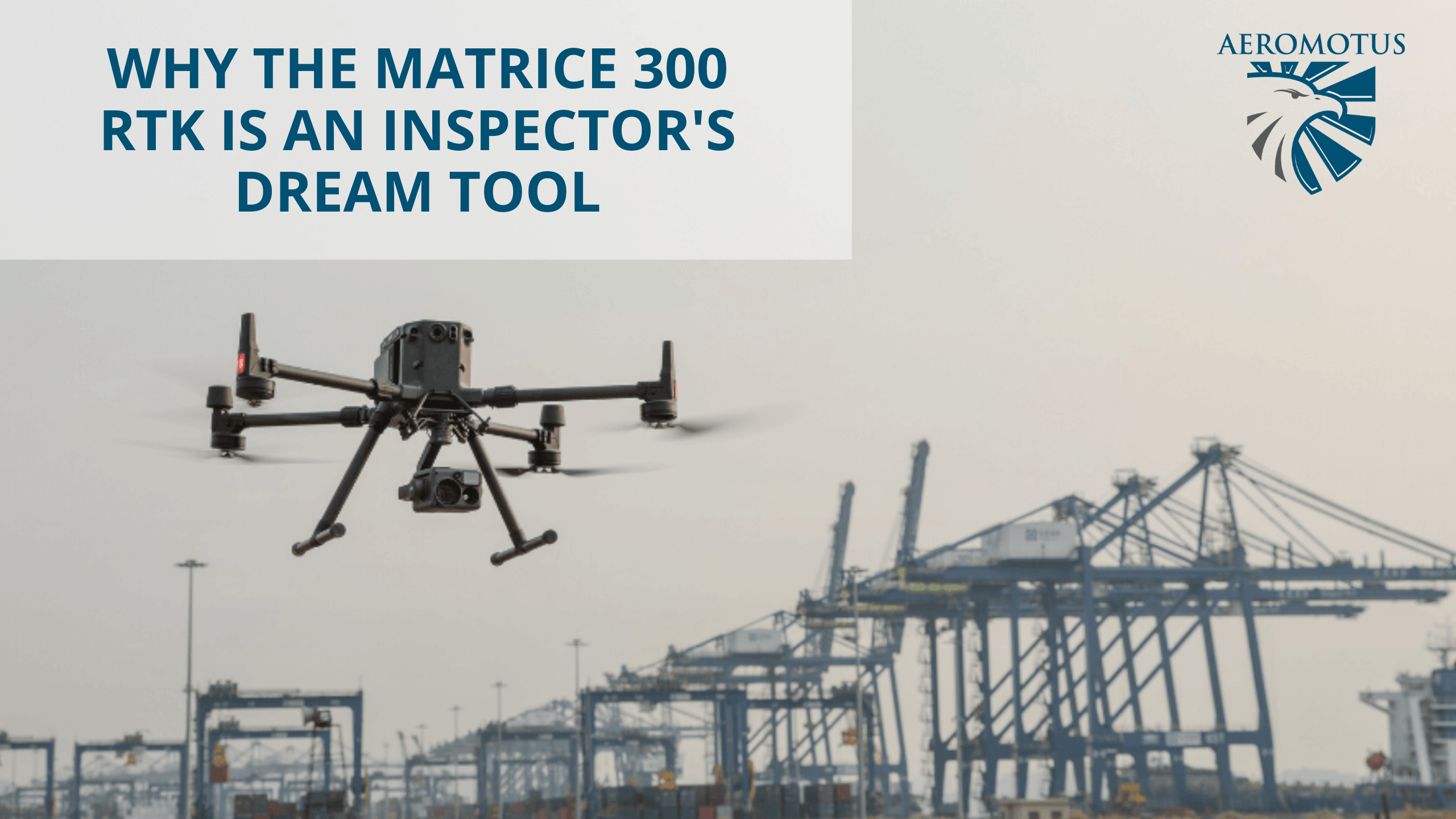
Matrice 300 RTK as the Main Inspector’s Tool
Thanks to smart AI features, M300 RTK makes drone inspections more efficient. It goes without saying that drone inspections are an integral part of any industry. Whether you need to
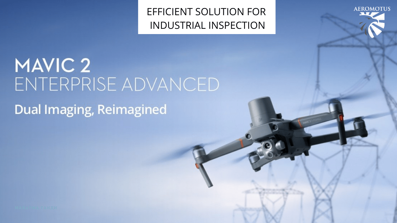
Meet the New DJI Mavic 2 Enterprise Advanced
DJI announced the release of the new Mavic version – DJI Mavic 2 Enterprise Advanced. The new flying machine comes with new powerful thermal and visual sensors, a 32-x digital
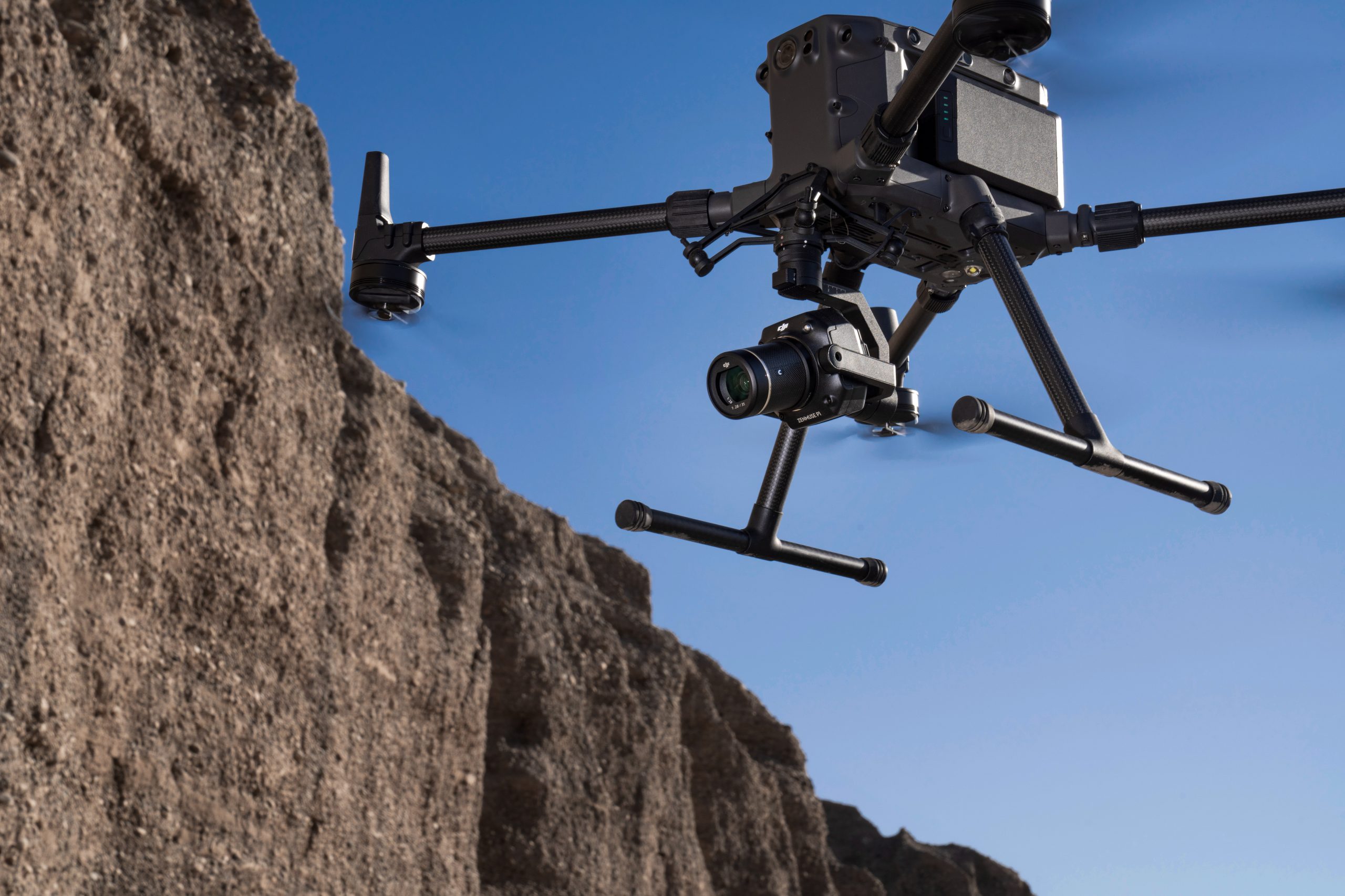
Overview of The Best Features of the DJI P1
It goes without saying that you will hardly find a better technology for building accurate 3D maps than photogrammetry – the main tool for AEC managers, surveyors, and mappers. The