How drones can help industry detect methane gas
Use of Drones for Methane Detection
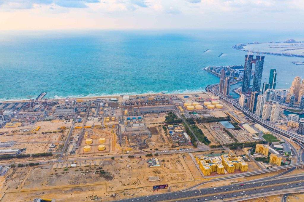
Pipelines, compressors and pumps, are often located in areas that are difficult to monitor. Any equipment failures cause irreparable damage to the environment and, as a consequence, to economic costs. This explains the importance and relevance of developing modern and technological methods of oil and gas pipelines condition monitoring.
In general, inspection methods are mainly divided into ground and aerial, and the choice between them is conditioned by the specifics of the object to be inspected. Most inspections are carried out using ground teams of specialists and special equipment: gas analyzers, thermal radiometers, laser and lidar sensors. This applies to small industrial sites where there are not extensive networks of pipelines and other utilities. Such facilities can get by with fixed instruments to provide the necessary level of safety.
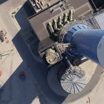
In other cases, aerial methods of inspection are used, and it is especially relevant for enterprises with transportation gas and oil pipelines, facilities located in hard-to-reach places and with difficult climatic conditions. Such facilities require systematic control, as well as immediate response to prevent the potential loss of gas during production, storage and use. In such cases, rovers, helicopters and drones are used for inspections.
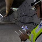
It is objective to believe that drones would occupy this niche and even surpass any other method due to their undeniable advantages. Drones are capable not only of visually monitoring objects, but also carrying technical aids such as multispectral visible range meters, thermal radiometers that include the near-infrared range, hyperspectrometers, lidars, radars, laser fluorescent sensors, and acoustic sensors. The cost of using a UAV with the appropriate equipment is at least 10 times cheaper than using a helicopter.
- Cost Reduction
- Improved Safety
- Easy to deploy and operate
Principle of operation
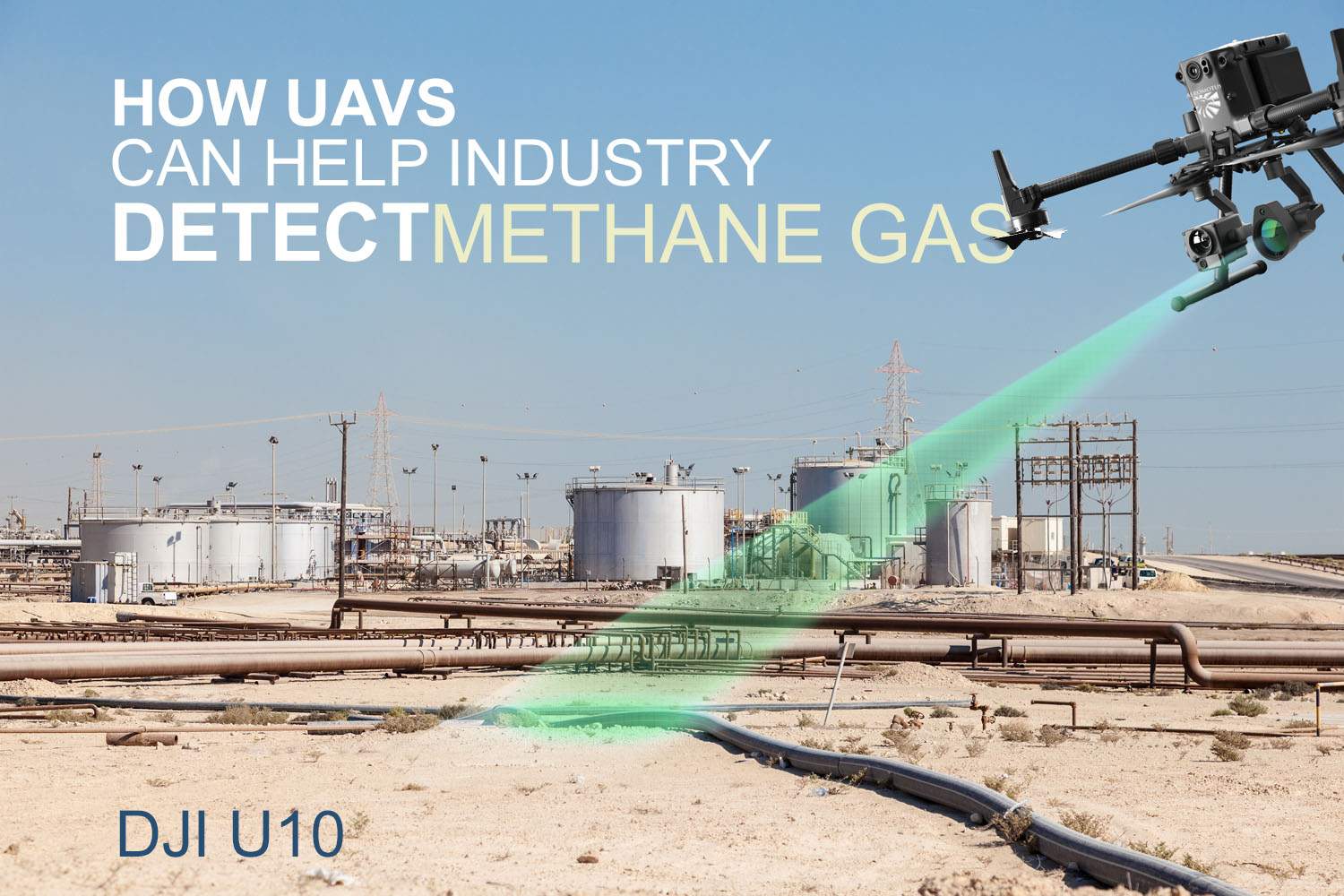
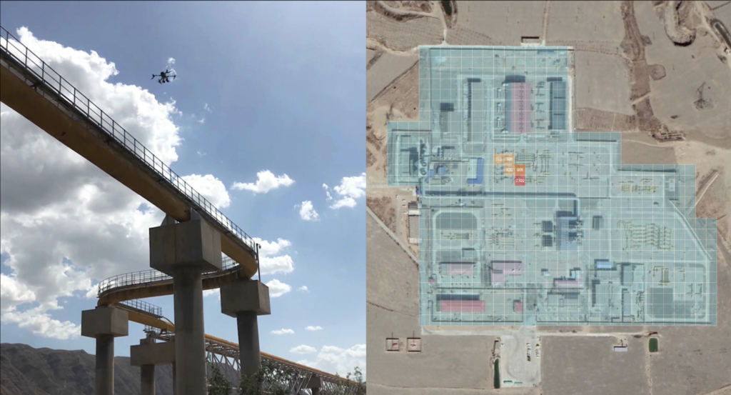
The operating principle of the unmanned system is based on remote monitoring of gas pipelines routes, both horizontal and vertical with the help of special gas leakage monitoring devices. Most often gas analyzers and laser scanners are used, which determine the distance from the device to the topographic object and back.
The operation of the laser gas analyzer is based on the ability of methane to absorb infrared radiation of a certain wavelength. When the beam detects methane, the instrument analyzes the emitted power, displaying gas concentration parameters on the screen. The location coordinates, time, wind direction at the time of detection, distance to the ground, gas emission level, and other data are also automatically recorded, allowing the situation to be assessed and ground response teams to plan their actions.
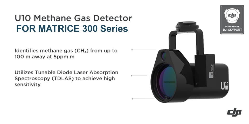
| DJI U10 Specifications | |||
| Method of Detection | TDLAS | Detection target | Methane (CH4) |
| Stationary detection Limit | 5 ppm.m | Detection Laser | Class IIIR |
| Response Time | 25 ms(0.025s) | Operating Temperature | -20 ~ 50 °C |
| Sampling Rate | 500 KHz | Operating Humidity | <90%Rh, no condensation |
| detection Concentration Range | 0~ 50,000 ppm.m | Size | 155x90x100mm |
| Max Detection | 100m | Weight | 534g |
| Camera | Video at 720p | Supported Aircraft | DJI Matrice 200,300,600 Series |
UAVs reduce inspection costs
UAV Solution for Oil & Gas
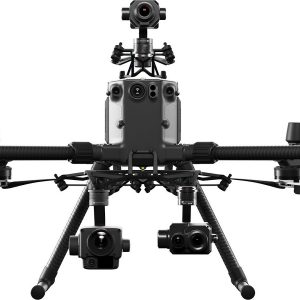
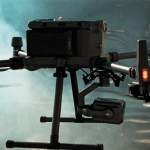
DJI’s enterprise platforms are best suited for complex tasks and can be used not only to detect gas leaks, but also for visual and thermal monitoring of gas and oil facilities.
This includes pipeline integrity inspections and detection of illegal taps, assessment of the technical condition of fuel and energy facilities (corrosion, rust, defects), topographic surveys and pipeline mapping, construction work monitoring, environmental monitoring of adjacent areas, soil and relief conditions.
-
DJI ZENMUSE XT, Z3, Z30, X7, X5, H, GIMBALS, CAMERAS, SENSORS
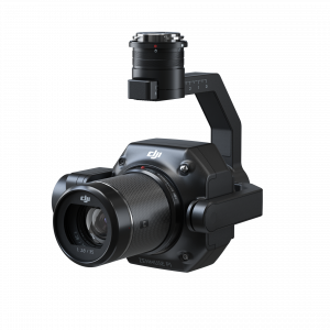
DJI Zenmuse P1
0 out of 5(0)The Zenmuse P1 integrates a full-frame sensor with interchangeable fixed-focus lenses on a 3-axis stabilized gimbal. Designed for photogrammetry flight missions, it takes efficiency and accuracy to a whole new level.
SKU: n/a -
DJI ENTERPRISE, DJI ZENMUSE XT, Z3, Z30, X7, X5, H, GIMBALS, CAMERAS, SENSORS, LIDAR SYSTEMS
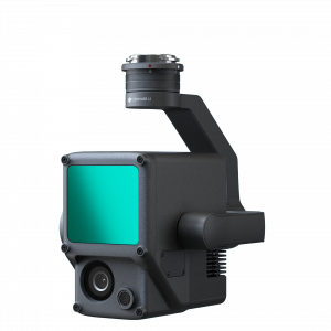
DJI Zenmuse L1 (LIDAR)
DJI ENTERPRISE, DJI ZENMUSE XT, Z3, Z30, X7, X5, H, GIMBALS, CAMERAS, SENSORS, LIDAR SYSTEMSDJI Zenmuse L1 (LIDAR)
0 out of 5(0)The Zenmuse L1 integrates a Livox Lidar module, a high-accuracy IMU, and a camera with a 1-inch CMOS on a 3-axis stabilized gimbal. When used with Matrice 300 RTK and DJI Terra, the L1 forms a complete solution that gives you real-time 3D data throughout the day, efficiently capturing the details of complex structures and delivering highly accurate reconstructed models
SKU: n/a -
GIMBALS, CAMERAS, SENSORS, PAYLOADS SDK
U10 LASER METHANE LEAKAGE DETECTOR
0 out of 5(0)The U10 is a light-weight, high-sensitivity gas detector based on Tunable Diode Laser Absorption Spectroscopy (TDLAS), which enables rapid identification of methane from up to 100 m away, or at a concentration as low as 5ppm.m. Powered by DJI SkyPort, the U10 can be seamlessly integrated with DJI Matrice 200 Series V1 and V2 platforms.
SKU: n/a
The most reliable solutions are the use of a payload and UAV complex: a camera and a laser gas analyzer (or laser scanner LiDAR). In this case, the company saves a lot of resources and is able to quickly solve several tasks at once, from visual imaging to identification of defects, leaks and violations in operation. This, in turn, allows ground crews to promptly respond to calls and take measures to eliminate them.
