Shop
Showing 31–45 of 734 resultsSorted by latest
-
UgCS Integrated Systems
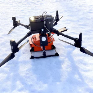
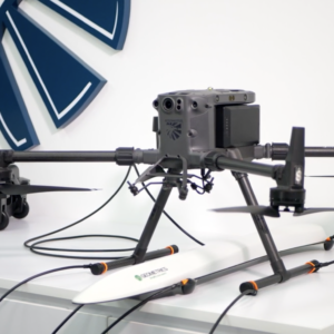
GPR system: Radar Systems Zond Aero LF (low frequency)
Extra-lightweight GPR system, suitable for medium-sized drones like DJI M300 RTK.
Comes with 3x sets of dipoles for the 300, 150, and 100 MHz.
Utilizes Real Time Sampling (RTS) with high hardware stacking, delivering high-resolution low-noise data.
SKU: n/a -
UgCS Integrated Systems
Laser Falcon methane detector
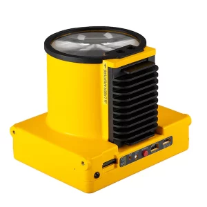
Laser Falcon is sensitive only to methane, so no false readings of other gases are possible. It is a class 3R eye-safe laser.
The concept is based on Infrared Absorption Spectroscopy. The laser emits light (spectral range of 1,65 μm), which reflects back and is captured by the sensor. The outgoing and incoming signals are compared with the built-in reference cell. If methane is present along the laser path, the laser light is partially absorbed. An algorithm calculates the gas concentration in ppm×m (parts per million multiplied by meter). The value is instantly transferred to the remote control (RC) of the drone pilot and to UgCS software.
SKU: n/a -
UgCS Integrated Systems
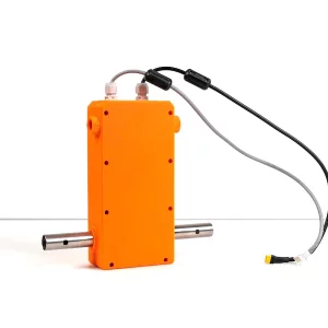
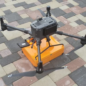
GPR system: Radar Systems Zond Aero 1000
Lightweight GPR system, suitable for medium-sized drones like DJI M300 RTK.
Includes a transportation box and mountings for the DJI M300 RTK or DJI M600 Pro drone.
HS Code: 90158020 (meteorological, hydrological, geophysical instrument
SKU: n/a -
GIMBALS, CAMERAS, SENSORS, Industrial Drones
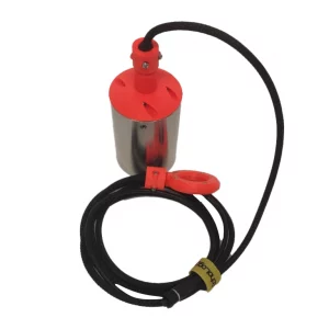
Geometrics MagArrow magnetometer
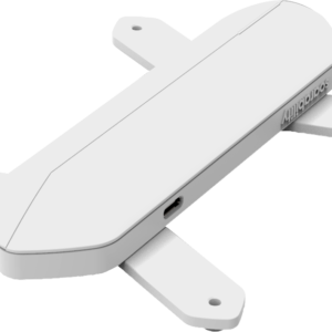
The MagArrow is engineered to simplify surveys that are difficult due to the various limitations of pilot-on-board surveys and ground surveys. The MagArrow is a robust yet flexible system that can adapt to changing field conditions and new user workflows. The MagArrow consists of an aerodynamic, light-weight carbon fiber shell with internal electronics including the MFAM™ magnetic sensors, GPS, and IMU. The MFAM™, a two sensor module inside the MagArrow is our most groundbreaking magnetometer yet, capable of highly precise measurements in an extremely lightweight and tiny package.
SKU: n/a -
DJI MAVIC
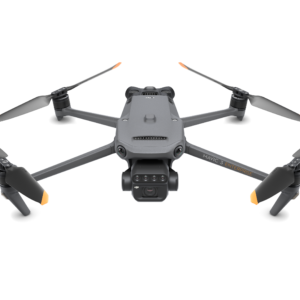
DJI Mavic 3 Multispectral
Effective aerial surveying needs to see the invisible. That’s why Mavic 3 Multispectral has two forms of sight. It combines an RGB camera with a multispectral camera to scan and analyze crop growth with total clarity. Agricultural production management requires precision and data, and Mavic 3M delivers both.
SKU: n/a -
Trainings
Drone Data Process and Modeling Specialist
Training & certification ( in person / virtual )
This training is aimed to providing you with the advanced level knowledge and competency needed to carry out the data processing, reconstruction and modeling of drone data captured for surveying, mapping and inspection missions.
SKU: n/a -
Trainings
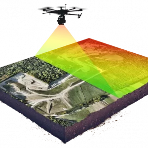
Drone Aerial Lidar Mapping Specialist
Training & certification ( in person / virtual )
This training is aimed to providing you with the advanced level knowledge and competency needed to carry out the professional drone based surveying and mapping with a combination of classroom and hands on experience with the surveying drone, payloads, software.
SKU: n/a -
Trainings
Drone Aerial Photogrammetric Survey Specialist
This training is aimed to providing you with the advanced level knowledge and competency needed to carry out the professional drone based surveying and mapping with a combination of classroom and hands on experience with the surveying drone, payloads, software.
SKU: n/a -
Trainings
M300 Commercial Drone Flight Specialist
Training & certification ( in person / virtual )
This commercial drone flight training is aimed at providing the attendees the highest standards of knowledge in use of Commercial Drones for different use cases like Surveying, Mapping, Inspections, Surveillance and Scouting missions.SKU: n/a

