Shop
Showing 106–120 of 734 resultsSorted by latest
-
SOFTWARE
DJI Terra Pro
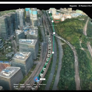
3D modelling and mapping software. DJI Terra will make handling drone data much easier, unlocking the potential of the data that drones are collecting.The photos captured from your DJI drone can now be transformed into digital 3D models or maps. This allows organisations to analyse the data much more easily and accurately. The models created in DJI Terra can be used in a huge array of applications, including public safety, construction, infrastructure, agriculture and media.
SKU: n/a -
SOFTWARE
DJI Terra Advanced
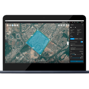
3D modelling and mapping software. DJI Terra will make handling drone data much easier, unlocking the potential of the data that drones are collecting.The photos captured from your DJI drone can now be transformed into digital 3D models or maps. This allows organisations to analyse the data much more easily and accurately. The models created in DJI Terra can be used in a huge array of applications, including public safety, construction, infrastructure, agriculture and media.
SKU: n/a -
SOFTWARE
Pix4D Model
Pix4Dmodel is a software to start 3D modeling with your consumer drone.This tool processes images automatically in Pix4Dmodel to create photorealistic 3D models from drone images.Pix4Dmodel is an image-based modeling software that integrates seamlessly with companies’ internal and external communication strategies in the real estate and renovation industries.Using images captured by drone, Pix4Dmodel generates photorealistic 3D models. Workflow also becomes more fluid thanks to the ability to annotate and share measurements via the Pix4D cloud.
SKU: n/a -
SOFTWARE
Pix4D Engine
Pix4Dengine is a set of programming modules running on your infrastructure or on our cloud, which are fully compatible with other Pix4D solutions. There are two modules available today: Pix4Dengine Server, and Pix4Dengine Cloud. These modules are built to empower customization, automation and integration into any enterprise system and reality-capture workflows.
SKU: n/a -
PAYLOADS SDK
KEII Thermal Camera Based on DJI Matrice M200
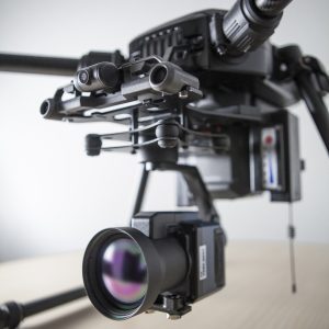
KEII Thermal cameras with a controlled gimbal stabilization system
KEII HL-640L UAV Special Module
Specially designed for UAV, weight≤320g, 50mm lens for detection target in a long distance. Recording 16 bit full radiometric IR data with accurate temperature measurement. GPS positioning optional.
SKU: n/a -
LIDAR SYSTEMS
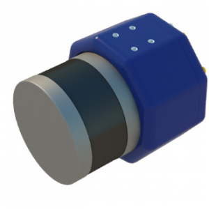
Laser scanner for UAV AGM-MS3
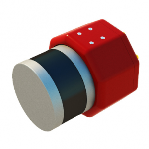
Cost-effective multifunctional solution for mobile and airborne laser scanning from unmanned aerial vehicles (UAVs).
Usual applications:
› engineering surveys;
› creating three-dimensional models of infrastructure objects;
› inventory and diagnostics of the roads and railways;
› creating GIS for various purposes;
› mine surveying;
› and others.SKU: n/a -
-
ACCESSORIES & PARTS, BATTERIES, DJI MAVIC, DJI MAVIC Spare Parts
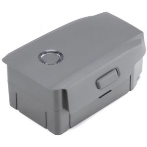
DJI Intelligent Self-Heating Flight Battery for Mavic 2 Enterprise
ACCESSORIES & PARTS, BATTERIES, DJI MAVIC, DJI MAVIC Spare PartsDJI Intelligent Self-Heating Flight Battery for Mavic 2 Enterprise
- For Mavic 2 Enterprise
- 3850mAh / 59.29Wh Capacity
- Provides up to 31 Minutes of Flight Time
- Four-Cell, High-Capacity LiPo Battery
- Built-In Battery Management System
- Multiple Intelligent Battery Protections
- Self-Heating for Frigid Temperatures
SKU: n/a -
DJI ENTERPRISE, DJI MAVIC
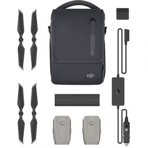
DJI Mavic 2 Enterprise Fly More Kit
- For Mavic 2 Enterprise
- Turn a Battery into a Mobile Power Bank
- Charge Batteries While Driving
- Charge Multiple Batteries in Sequence
- 2 x Self-Heating Flight Batteries
- 2 x Pair of Low-Noise Propellers
- 1 x Charging Hub & Car Charger
- 1 x Power Bank Adapter
- 1 x Travel Shoulder Bag
SKU: n/a -
DJI ENTERPRISE, DJI PHANTOM
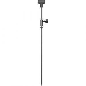
DJI D-RTK 2 GNSS Mobile Station for Phantom 4 RTK Drones
- Works with Phantom 4 RTK & MG-1P RTK
- Centimeter-Level Mapping Precision
- Accesses GPS, GLONASS, Beidou & GALILEO
- Connects via 4G, OcuSync, Wi-Fi & LAN
- Connect up to 5 Remote Controllers
- Carbon Fiber Body
- IP67-Rated Water & Dust Resistance
- Built-In IMUs Monitor Movement
- IMUs Alert Operators of Abnormalities
SKU: n/a -
DJI ENTERPRISE, DJI PHANTOM, RTK/PPK
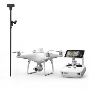
DJI Phantom 4 RTK Quadcopter with D-RTK 2 GNSS Mobile Station Combo
DJI ENTERPRISE, DJI PHANTOM, RTK/PPKDJI Phantom 4 RTK Quadcopter with D-RTK 2 GNSS Mobile Station Combo
- Enterprise-Level Drone Mapping Solution
- 1cm+1ppm RTK Horizontal Accuracy
- 1.5cm+1ppm RTK Vertical Accuracy
- Distortion Calibrated 1″ CMOS Sensor
- TimeSync Alignment for Accurate Metadata
- Controller with Display and GS RTK App
- Photogrammetry & Waypoint Flight Modes
- OcuSync for up to 4.3-Mile Streaming
- Up to 30 Minutes Flying Time
- D-RTK 2 GNSS Mobile Station Included
SKU: n/a

