PROFESSIONAL & INDUSTRIAL
Showing 46–60 of 385 resultsSorted by latest
-
DJI ENTERPRISE, DJI MATRICE, ENTERPRISE, Industrial Drones, PROFESSIONAL & INDUSTRIAL
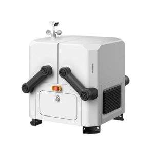
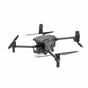
DJI Dock
DJI Docks are rugged, reliable, and are built to operate 24/7, day or night, rain or shine.
Each DJI Dock houses a Matrice 30 where it lands, recharges, takes off, and executes missions programmed in DJI FlightHub 2.
SKU: n/a -
SOFTWARE
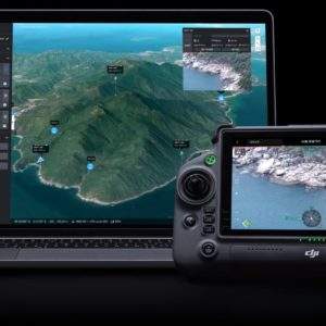
DJI FlightHub 2
FlightHub 2 is an all-in-one cloud-based drone operations management platform that helps you achieve comprehensive, real-time situational awareness. Access all the information you need to plan drone missions, supervise your fleet, and manage the data you create, now from a secure cloud-based environment.
SKU: n/a -
-
-
GIMBALS, CAMERAS, SENSORS, PAYLOADS SDK, Share
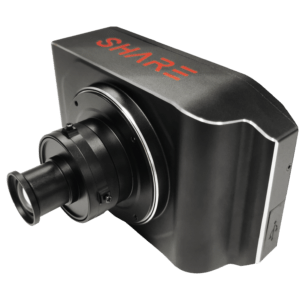
Share 202S PRO – Professional Mapping Camera
- Full Frame Camera
- High Precsion for various surveys and areas
- Compatible with multi-rotor, fixed-wing and VTOL
- Easy operation and efficient workflow
Compatibility: DJI M210, M300, M600, VTOL, multi rotor
SKU: n/a -
-
SOFTWARE
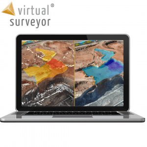
Virtual Surveyor
SMART DRONE SURVEYING SOFTWARE. SURVEY EFFICIENTLY WITH DRONE DATA
Powerful analysis and visualisation of your drone surveys. Virtual Surveyor is ideal for civil construction, infrastructure, mining and quarrying projects of any size. From road surveying to topography mapping, volume calculations and cut/fill mapping, Virtual Surveyor gives you the tools to quickly and accurately track and optimise your project as it takes shape.
- Topographic surveys
- Mining & quarrying
- Construction earthworks
- Stockpile inventory
SKU: n/a -
Delair, PROFESSIONAL & INDUSTRIAL
Delair UX11 AG
THE SMARTEST PLANT-MAPPING DRONE
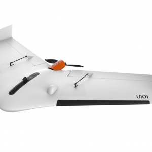
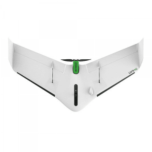
The Delair UX11 Ag is a plant-mapping drone capable of onboard data processing with wireless and 3G/4G communications. Thanks to its PPK-as-you-go feature it is possible to precisely overlay maps for temporal analysis and on the route planning and guidance for on the ground agricultural machines.Now you can collect plant aerial intelligence more accurately and efficiently and reach a new level of productivity.
SKU: n/a -
Industrial Drones, PROFESSIONAL & INDUSTRIAL
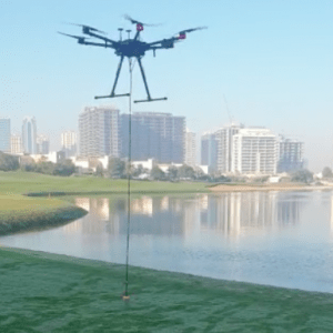
Bathymetric Drone (Airborne Bathymetric Survey)
- Supported sensors – Echo Sounder or GPR – can be selected based on the water depth, required sensitivity, and water properties
- It is easy to transport deploy and has the ability to operate at hard to reach locations, unsafe or hazardous environment
- The drone makes bathymetric surveys 10 times faster and 2 times more cost-efficient compared with a standard approach using a ship, a boat or an unmanned surface vehicle
SKU: n/a

