PROFESSIONAL & INDUSTRIAL
Showing 91–105 of 385 resultsSorted by latest
-
-
-
-
YUNEEC COMMERCIAL, YUNEEC DRONES
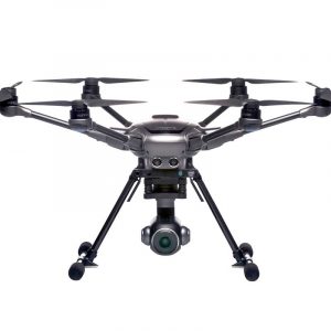
Yuneec Typhoon H Pro with Intel® RealSense™ Technology
YUNTYHBREU
Typhoon H is an advanced aerial photography and videography platform available in such a compact size. Driven by customer demand for a design that goes beyond the limitations of a traditional quadcopter, Typhoon H delivers capabilities previously only found in high-end professional offerings, but at a consumer price.
SKU: YUNTYHBREU -
Bluegrass Accessories and Spareparts, Disco-Pro AG Accessories and Spareparts, Parrot Sequoia & Accessories, Spareparts
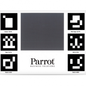
Parrot Sequoia Calibration Target
Bluegrass Accessories and Spareparts, Disco-Pro AG Accessories and Spareparts, Parrot Sequoia & Accessories, SparepartsParrot Sequoia Calibration Target
Calibrate your Parrot Sequoia standalone or integrated in Parrot Bluegrass or Disco-Pro AG drone with ease with this calibration target. The target measures 19cm x 13.5cm and is ultra-portable.
SKU: n/a -
Bluegrass Accessories and Spareparts, PARROT Main Products
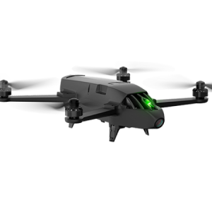
Parrot Bluegrass Fields
Parrot Bluegrass Fields is a comprehensive, ready-to-fly drone solution that spans the entire crop analysis workflow. Parrot Bluegrass Fields provides agriculture professionals with the insights they need to maximize their yields and boost the quality of their crops.
• The rugged, easy-to-fly Parrot Bluegrass drone
• The industry-leading Parrot Sequoia multispectral sensor and a 14 MP front RGB camera
• ParrotFields mobile app to simplify the entire in-field workflow (one-year subscription)
• A full access to Pix4Dfields desktop and cloud software for further in-depth analysis of crop data gathered (one-year subscription)SKU: n/a -
-
DJI MATRICE, DJI ZENMUSE XT, Z3, Z30, X7, X5, H, GIMBALS, CAMERAS, SENSORS, MATRICE 100 Accessories, PROFESSIONAL & INDUSTRIAL
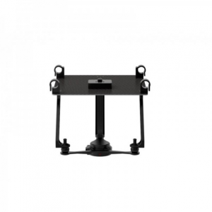
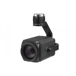
DJI Zenmuse Z30 – 30x Optical Zoom Camera/Gimbal
DJI MATRICE, DJI ZENMUSE XT, Z3, Z30, X7, X5, H, GIMBALS, CAMERAS, SENSORS, MATRICE 100 Accessories, PROFESSIONAL & INDUSTRIALDJI Zenmuse Z30 – 30x Optical Zoom Camera/Gimbal
The Zenmuse Z30 is the most powerful integrated aerial zoom camera on the market with 30x optical and 6x digital zoom for a total magnification up to 180x. Whether you are inspecting power lines, cell towers or wind turbines, it enables you to get a detailed look at structures, wires, modules and components to detect damage. With the Z30’s incredible zoom capabilities you can avoid any potential electro-magnetic or RF intereference associated with utilities and communications infrastructure. This camera can only be used on the M100, M600 and M200 series airframes and is not compatible with the Inspire 1 or Inspire 2.
SKU: n/a -
BATTERIES, DJI MATRICE
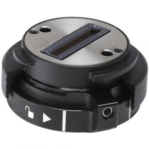
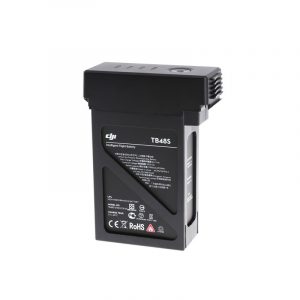
DJI Matrice 600 Series – TB 48S Intelligent Flight Battery
- For Matrice 600 Hexacopters
- Relays Remaining Battery Power
- Provides Data About Cell Voltage
- 5700mAh Battery
22.8V battery that comes with charge and discharge management. New and powerful embedded battery cells provide power to the aircraft during flight. Charge using the DJI standard charger or battery charging hub.
SKU: n/a -
PARROT PROFESSIONAL
Parrot ANAFI Ai Drone
Key Features- Fly Farther with Dual-Band Wi-Fi/4G LTE
- Ideal for Photogrammetry, Filming & More
- Up to 4K/60 & 4K HDR10/30 Recording
- Twin Sensor Obstacle Avoidance System
- 0.46 cm/px GSD at 100′ Mapping Accuracy
- Up to 6x Lossless Zoom
- 14 EV Dynamic Range
- 6 Different Camera Modes
- 5 Autonomous Flight Modes
- Skycontroller 4 Remote Control Included
SKU: n/a -
SOFTWARE, UgCS
UgCS Enterprise
Live Video Feed Features
All the features and benefits of UgCS Pro.
Benefit from a live video stream from UgCS for DJI to UgCS
(currently compatible only with Win & Android)- Multiple SDK connections
- ADS-B Transponder
- Compatible with UgCS Mapper to perform live video mapping.
SKU: n/a -
SOFTWARE, UgCS
UgCS Expert LIDAR Toolset
The UgCS LIDAR toolset unlocks the full potential of LIDARs enabling effective remote sensing without human error. Delivers everything that UgCS Pro delivers plus LIDAR capabilities.
- Save time on mission planning with flight patterns and turns designed specifically for LIDAR surveys
- Acquire high-quality laser data with preset IMU initialization patterns and anti-shake LIDAR turns
- High accuracy of acquired data ensures getting desired results with one trip to the field
Supports most popular LIDAR platforms: DJI, YellowScan, Riegl, PhoenixLIDAR, LIDAR USA, GeoCue, Rock Robotics, & GeoSun LIDAR
SKU: n/a -
SOFTWARE, UgCS
UgCS Mapper
Create Maps offline with UAV Drone Photogrammetry
Mapper is a lightweight software tool for making 2D maps and elevation out of drone imagery and video – purely offline.
Increase surveying productivity – validate the quality of dataset – collected images are suitable for map stitching, before leaving the survey area.
Higher flight safety – create up to date 3D map and elevation data, i.e., when default map sources are not accurate enough for safe mission planning.
SKU: n/a

