PROFESSIONAL & INDUSTRIAL
Showing 106–120 of 385 resultsSorted by latest
-
SOFTWARE, UgCS
UgCS ATLAS AI
ATLAS Optimses Drone & Satellite Geospatial Data Analysis
ATLAS leverages AI to automate time-consuming manual analysis of UAV & Satellite data, such as object counting, volume measurements, making a true DTM, and much more.
ATLAS contains its own AI-engine, which learns from users activity and automates regular data analysis tasks.
ATLAS can be taught to identify changes of assets, components, and geospatial data over time, to support various monitoring, inspection, and integrity activities.
SKU: n/a -
-
SOFTWARE, UgCS
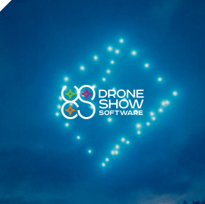
Drone Show Software
Full Turnkey Solution
Drone Show Software provides tools to manage astonishing outdoor shows by controlling up to thousands of drones as flying pixels.
This drone system by SPH Engineering is the very first commercially available software that manages its flights with lights, fireworks, smoke generators, and any other payloads.
Drone Show Software allows anyone with drones, ambition and a choreographer to create mind-blowing drone shows.
Take your events to the next level with revolutionary drone show control software which is already highly valued in many entertainment industries.
SKU: n/a -
-
-
PAYLOADS SDK
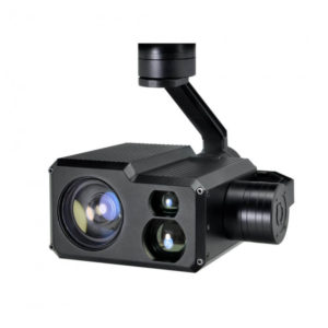
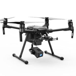
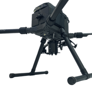
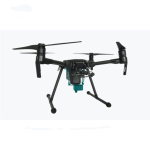
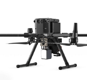
DJI Matrce 210 – 30X Zoom GPS Location Resolving Laser Rangefinder Camera
30X optical zoom gimbal camera with object tracking GPS Location Resolving and Laser Rangefinder for DJI Matrce 210, Matrice 200 drone, use for public safety, patrol, surveillance, search and rescue, police and military law enforcement use.
SKU: n/a

