SOFTWARE Categories
SOFTWARE
Showing 1–15 of 24 resultsSorted by latest
-
SOFTWARE
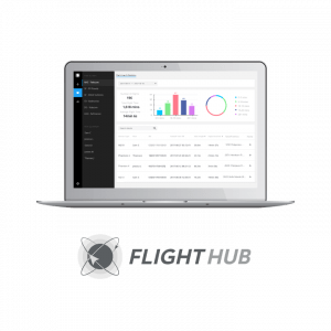
DJI FlightHub 2
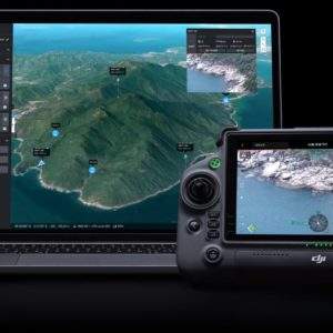
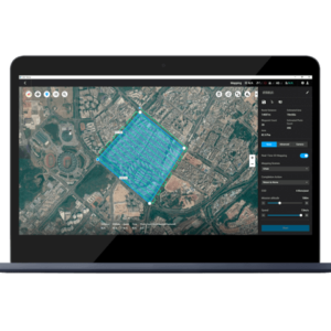
FlightHub 2 is an all-in-one cloud-based drone operations management platform that helps you achieve comprehensive, real-time situational awareness. Access all the information you need to plan drone missions, supervise your fleet, and manage the data you create, now from a secure cloud-based environment.
SKU: n/a -
SOFTWARE
Virtual Surveyor
SMART DRONE SURVEYING SOFTWARE. SURVEY EFFICIENTLY WITH DRONE DATA
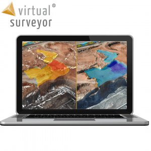
Powerful analysis and visualisation of your drone surveys. Virtual Surveyor is ideal for civil construction, infrastructure, mining and quarrying projects of any size. From road surveying to topography mapping, volume calculations and cut/fill mapping, Virtual Surveyor gives you the tools to quickly and accurately track and optimise your project as it takes shape.
- Topographic surveys
- Mining & quarrying
- Construction earthworks
- Stockpile inventory
SKU: n/a -
SOFTWARE
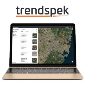
Trendspek
Trendspek allows you to
· Easily navigate and inspect complete asset models
· Collate, classify and filter your observations using fluid and intuitive annotation cards.
· With a simple click you can accurately measure distance, height, gradient and area
· Compare previously captured data side by side
· And communicate effectively with high impact reportsWhen everyone from the boardroom to the toolbox can access a single source of truth, you can ensure that the right people have the right information to streamline your workflow and boost productivity
You can
· Discuss your findings live with your team
· Share information instantly
· Upload and manage files and documents,
· Easily coordinate internal and external teamsSKU: n/a -
SOFTWARE
DJI FlightHub
- The ultimate solution for managing your drone operations
- Ensure all pilots conform to regulatory requirements
- Manage live operations with real-time live and map views of your remote operations
- Automatically sync flight logs for further analysis
- Organize communications and records by team, client or project
- Three tiers to match operations of all sizes
- Compatible with M200 Series, Mavic Pro, Phantom 4 Series and Inspire through the DJI Pilot app
SKU: n/a -
SOFTWARE
DJI Terra Pro
3D modelling and mapping software. DJI Terra will make handling drone data much easier, unlocking the potential of the data that drones are collecting.The photos captured from your DJI drone can now be transformed into digital 3D models or maps. This allows organisations to analyse the data much more easily and accurately. The models created in DJI Terra can be used in a huge array of applications, including public safety, construction, infrastructure, agriculture and media.
SKU: n/a -
SOFTWARE
DJI Terra Advanced
3D modelling and mapping software. DJI Terra will make handling drone data much easier, unlocking the potential of the data that drones are collecting.The photos captured from your DJI drone can now be transformed into digital 3D models or maps. This allows organisations to analyse the data much more easily and accurately. The models created in DJI Terra can be used in a huge array of applications, including public safety, construction, infrastructure, agriculture and media.
SKU: n/a -
SOFTWARE
Pix4D Model
Pix4Dmodel is a software to start 3D modeling with your consumer drone.This tool processes images automatically in Pix4Dmodel to create photorealistic 3D models from drone images.Pix4Dmodel is an image-based modeling software that integrates seamlessly with companies’ internal and external communication strategies in the real estate and renovation industries.Using images captured by drone, Pix4Dmodel generates photorealistic 3D models. Workflow also becomes more fluid thanks to the ability to annotate and share measurements via the Pix4D cloud.
SKU: n/a -
SOFTWARE
Pix4D Engine
Pix4Dengine is a set of programming modules running on your infrastructure or on our cloud, which are fully compatible with other Pix4D solutions. There are two modules available today: Pix4Dengine Server, and Pix4Dengine Cloud. These modules are built to empower customization, automation and integration into any enterprise system and reality-capture workflows.
SKU: n/a

