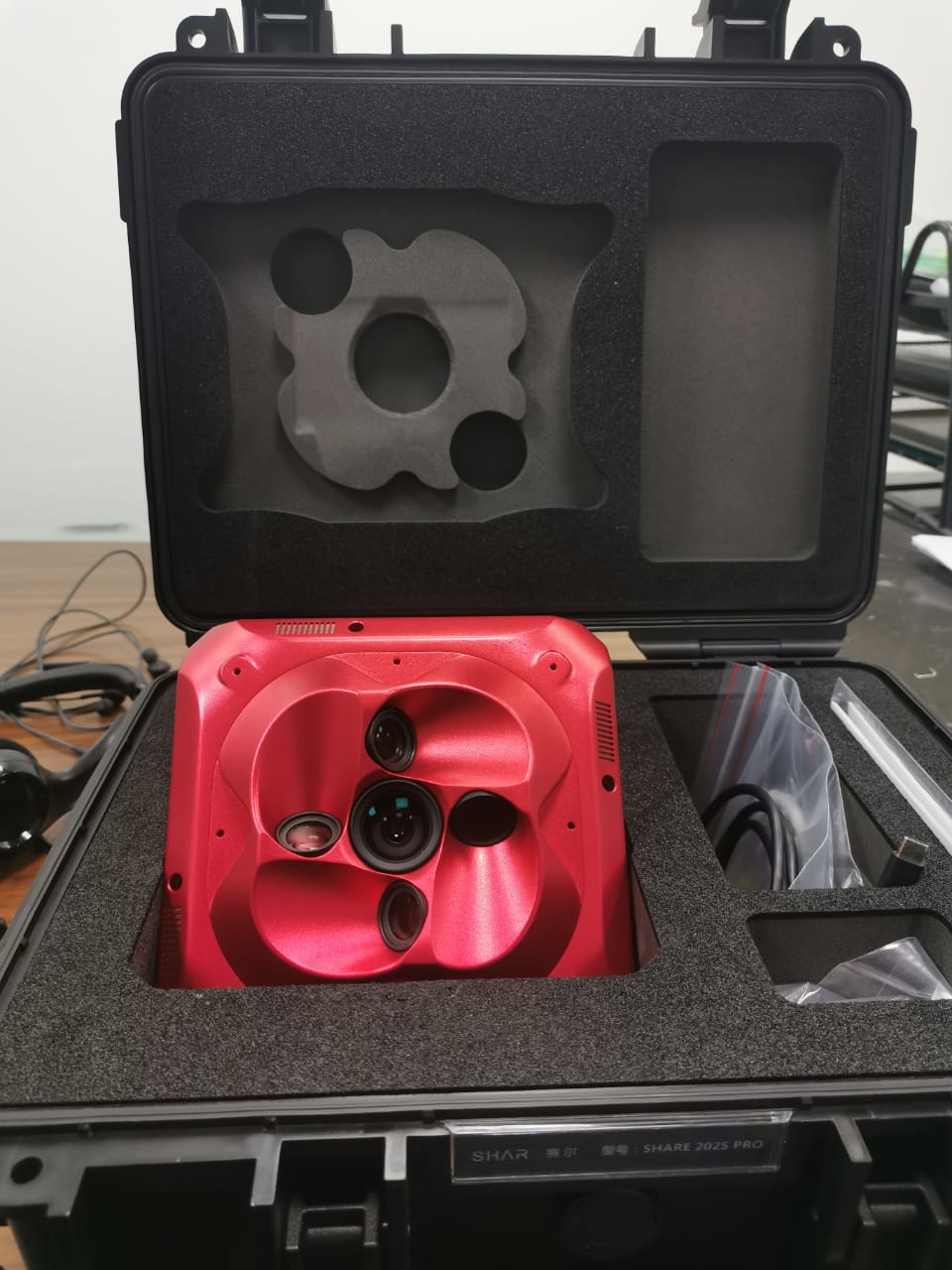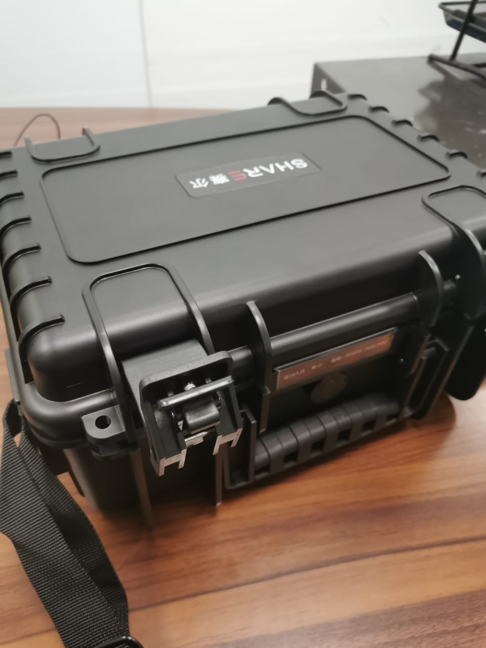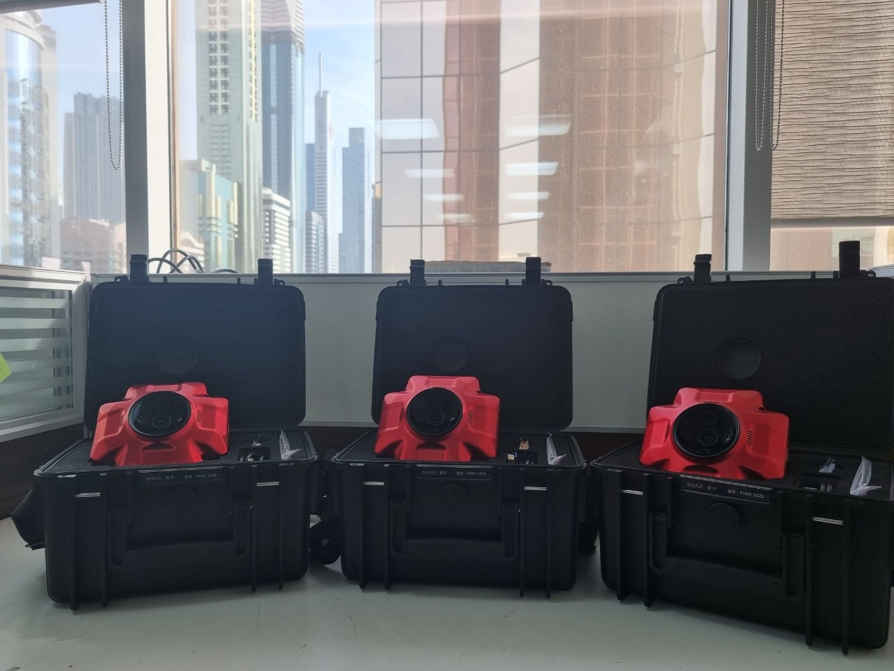
Share 202S Series -Professional Mapping Camera

  • Full Frame Camera
  • High Precsion for various surveys and areas
  • Compatible with multi-rotor, fixed-wing and VTOL
  • Easy operation and ecient workflow

Share 202S Series – Full Frame, Long Focal Length

Three Major Functions:
Survey with No GCPs Used
Say goodbye to ground control points, high accuracy and high efficiency

Real-time Image Transmission
The image of downward vision can be synchronized to ground station, everything under control.

OLED Display All Status
Share UAV is first one to equip OLED screen on oblique camera. This OLED can helpe user to know all status of camera, including camera ID, photo numbers, RTK signal and temperature.

Data Process Software

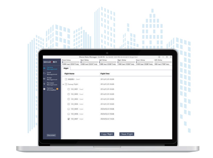
Share Data Manager
Preprocess data & Write POS information

Share Data Manager is an intelligent management software designed for high-efficiency, easy-operation data collation and data preprocess. The purpose is to help user to improve the workflow efficiency and simply the procedure.

If you never used this kind of data preprocessing software, don’t worry. Share Data Manager is quite
simple to operate. One key to copy all data you need, easy and efficient. No longer need to spend a lot of time to process POS information.

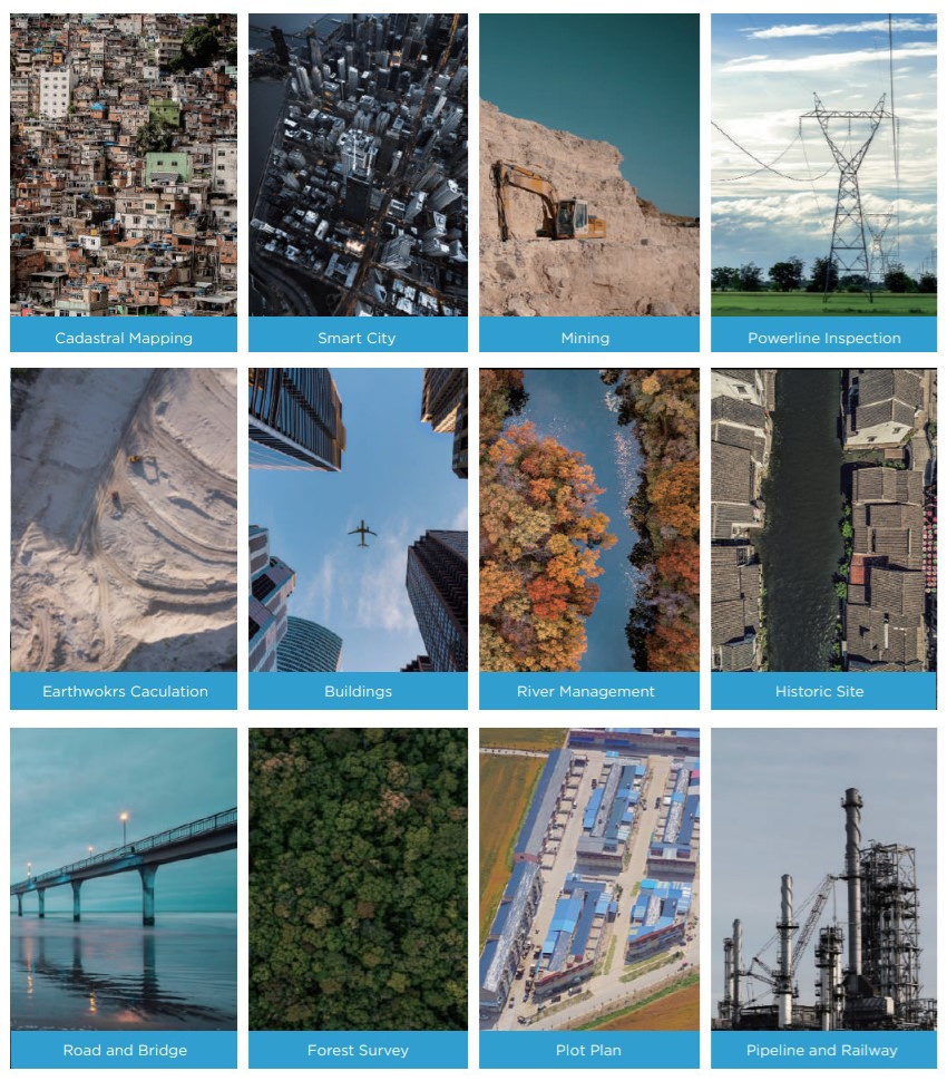
Applications

  • Cadastral Mapping
  • Smart City
  • Mining
  • Powerline Inspection
  • Earthwork Calculation
  • Building
  • River Management
  • Historic Site
  • Road and Bridge
  • Forest Survey
  • Plot Plan
  • Pipeline and Railway


Specification

Camera

QTY of Lens 5 pcs
Focal Length 56 mm x 440 mm x 1
Effective Pixels 42.4MP, total pixels ≥210MP
Pixel Size 7952 x 5304/td>
Sensor Size Full Frame(35.9 mm x 24mm)
Lens Angle 45 degree
Exposure Interval ≥1.2 s
Storage 1280 GB
Power Supply SkyPort / J30J-15
Power On / Off Auto On / Off

General

Operating Temperature -10℃~50℃
Humidity 95%
Size 160 x160 x 105 mm
Weight 1150 g
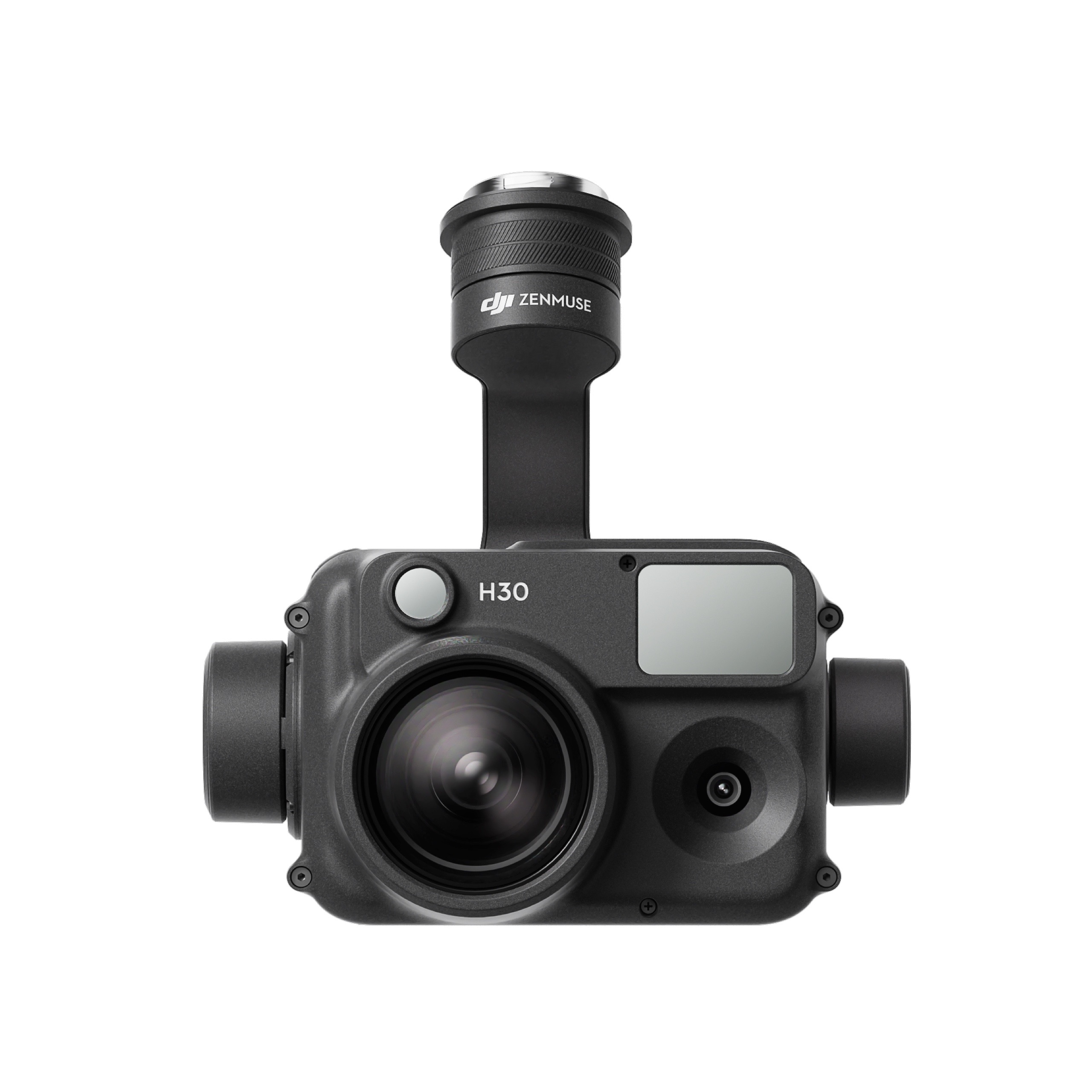
DJI Zenmuse H30T

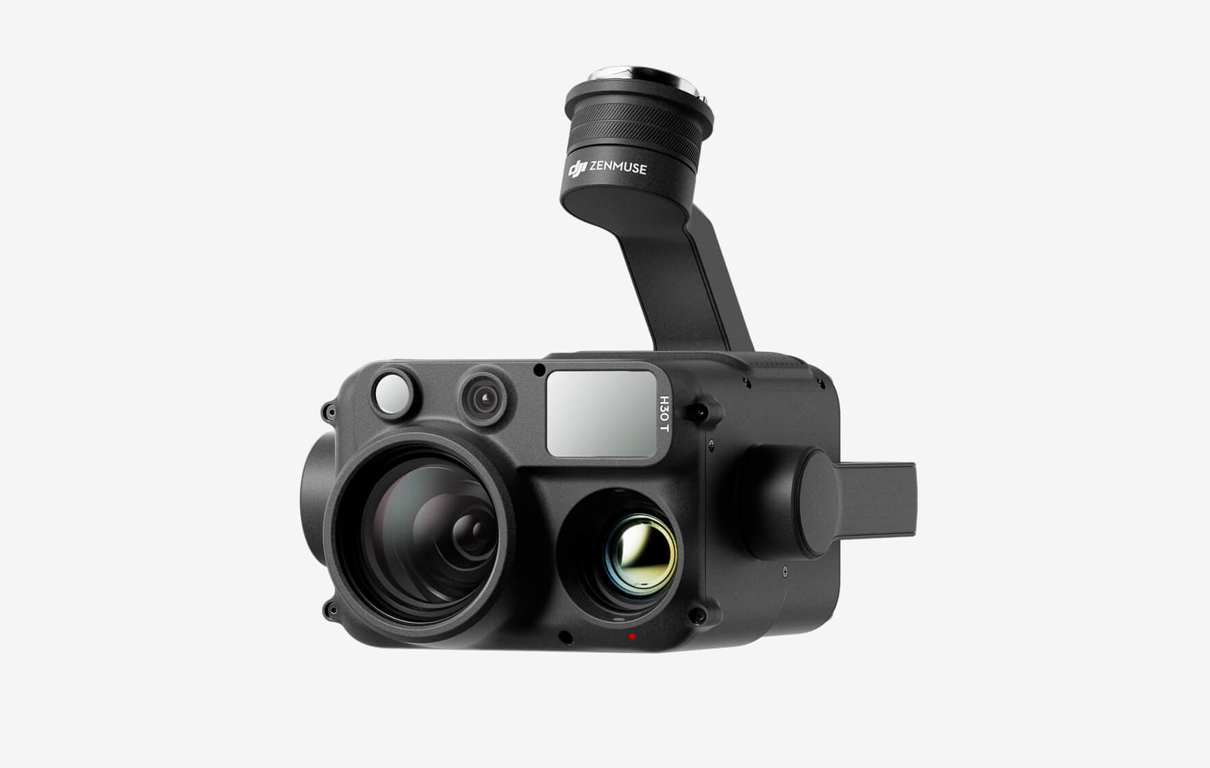
The all-weather, multi-sensor flagship Zenmuse H30 Series integrates five major modules—a wide-angle camera, a zoom camera, an infrared thermal camera, a laser range finder, and an NIR auxiliary light. Employing cutting-edge intelligent algorithms, it revolutionizes perception and imaging standards, transcending the limitations of day and night vision. This makes it effortlessly suitable for a variety of operations, including public safety, energy inspection, water conservation, and forestry.

Buy
DJI Zenmuse H30

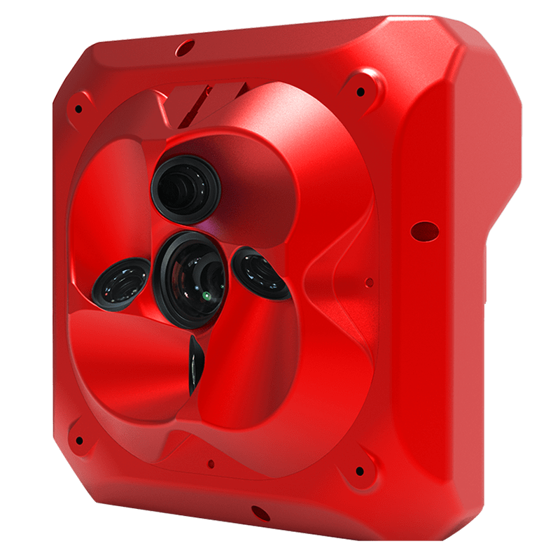
The all-weather, multi-sensor flagship Zenmuse H30 Series integrates five major modules—a wide-angle camera, a zoom camera, an infrared thermal camera, a laser range finder, and an NIR auxiliary light. Employing cutting-edge intelligent algorithms, it revolutionizes perception and imaging standards, transcending the limitations of day and night vision. This makes it effortlessly suitable for a variety of operations, including public safety, energy inspection, water conservation, and forestry.
Buy
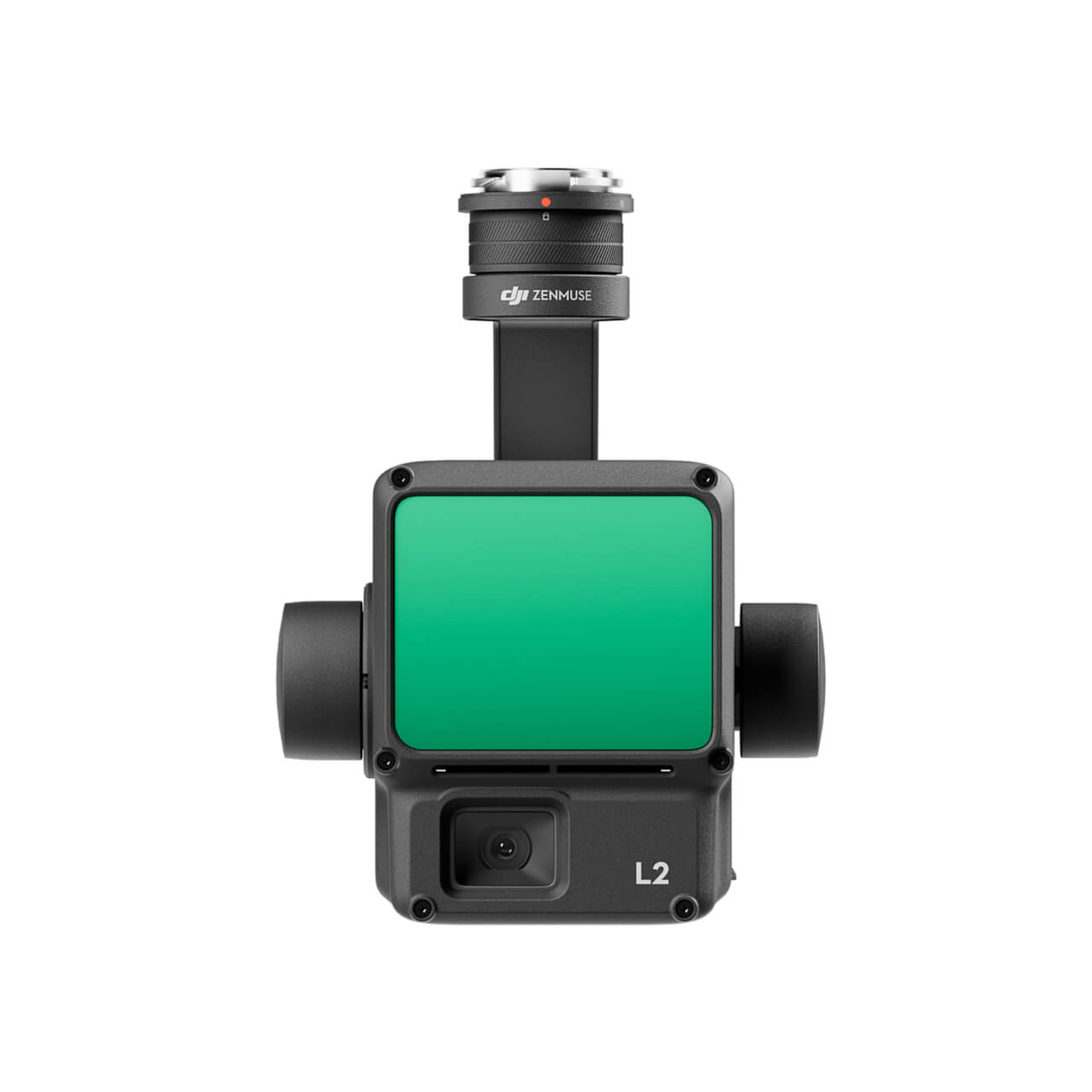
DJI Zenmuse L2 (LiDAR)
  • High Precision
  • Exceptional Efficiency
  • Superior Penetration
  • 250m/450m Detection Range
  • 5 Returns
  • Turnkey Solution
  • Point Cloud LiveView
  • One-Click Processing on DJI Terra
Buy
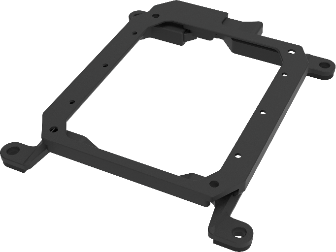
M30 PSDK ADAPTER BRACKET

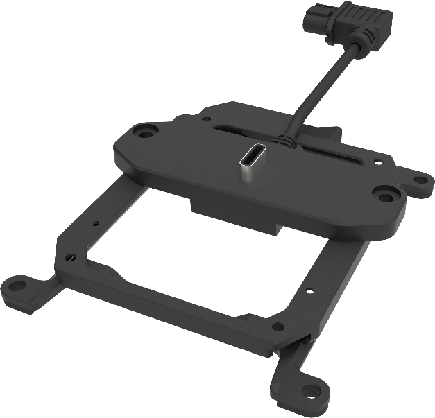
The PSDK load can be fixed to the M30 series flight platform, and different types of PSDK loads can be quickly removed and replaced.

Buy

Inquire price for

    ×