Training & certification ( in person / virtual )
This training is aimed to providing you with the advanced level knowledge and competency needed to carry out the professional drone based surveying and mapping with a combination of classroom and hands on experience with the surveying drone, payloads, software.
Recommended for engineers and specialists in Land Surveying and Mapping or ambitious professionals intending to commence drone based survey and mapping works.
Duration: 1 to 2 days (in person /virtual)
Training outline:
- Classroom Knowledge classes & Field training.
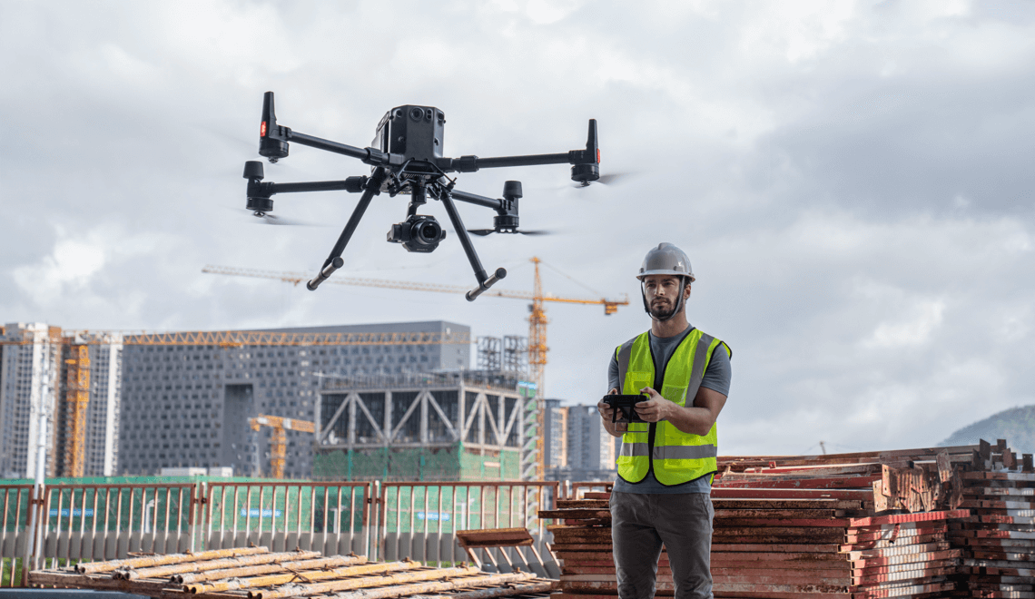
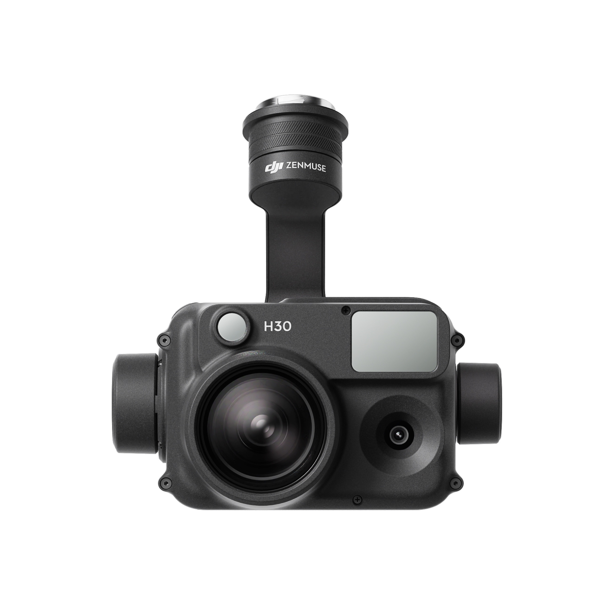
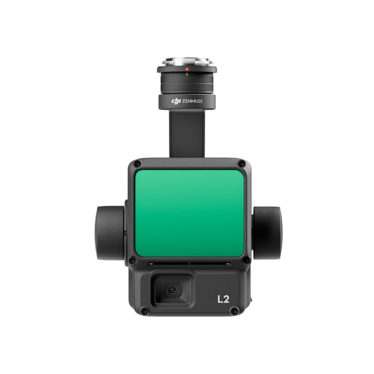
- M300 Drone and Aerial Survey Camera- Introduction and Specifications. M300 Drone / Payload Installation, Configuration & Setup.
- Introducing the Pilot app.
- Settings and Manual Flight Display and Functions with M 300RTK and Payloads. Mission Planning and Configuration of Mission Parameters.
- Mission Planning (Mapping Mission, Linear Mission, Waypoint Mission etc.)
- Import/export of KML, maps, missions, routes.
- Ground Control Point Establishment, Best Practices and GCP Management.
- Execute a photogrammetry mission and data capture.
- Multiple flight plans and execution of missions and practice.
- Aerial Data Software Processing and Reconstruction Missions for 2D and 3D Deliverables. Introduction to Smart Drone Surveying Software and Industry Outputs.
- Questions & Answers.
- Proficiency Knowledge Test & Certification.
Training Rates: this can be provided upon request based on the number of attendees.
Certificate type: Drone Aerial Photogrammetric Survey Specialist
Category: Trainings