Geometrics MagArrow magnetometer

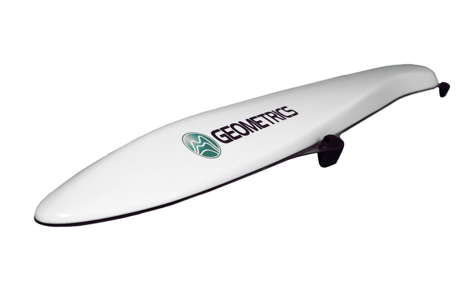
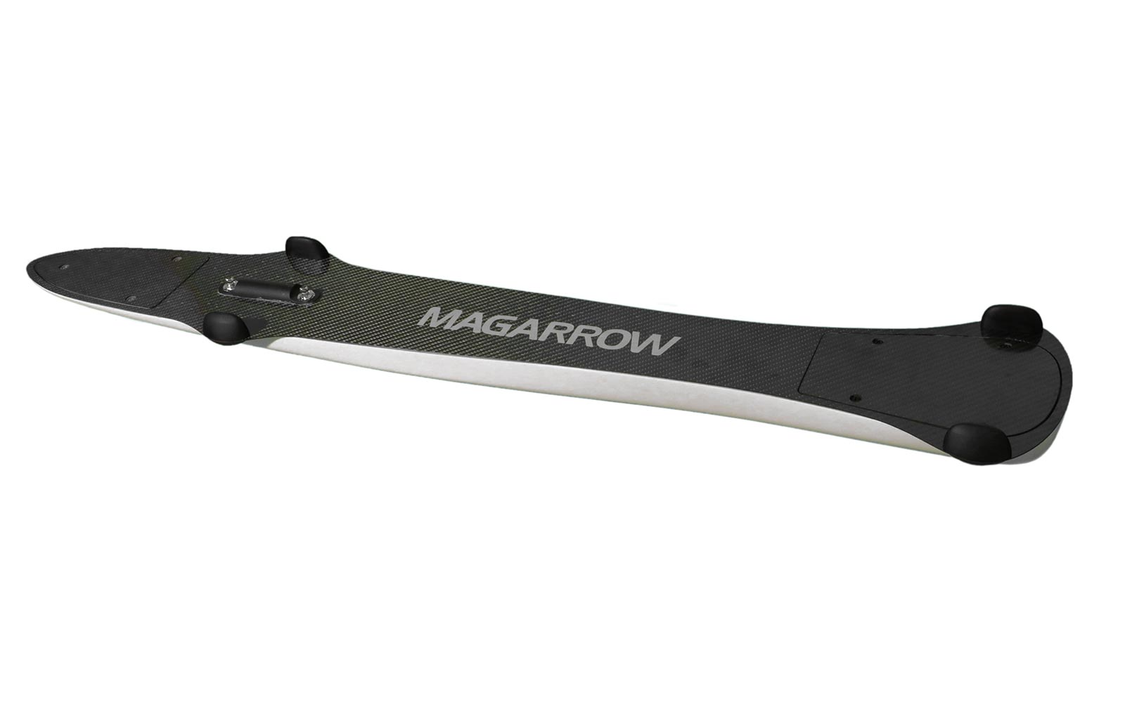
The MagArrow is engineered to simplify surveys that are difficult due to the various limitations of pilot-on-board surveys and ground surveys. The MagArrow is a robust yet flexible system that can adapt to changing field conditions and new user workflows. The MagArrow consists of an aerodynamic, light-weight carbon fiber shell with internal electronics including the MFAM™ magnetic sensors, GPS, and IMU. The MFAM™, a two sensor module inside the MagArrow is our most groundbreaking magnetometer yet, capable of highly precise measurements in an extremely lightweight and tiny package.

Ultra-sensitive hi-end lightweight magnetometer for UAV

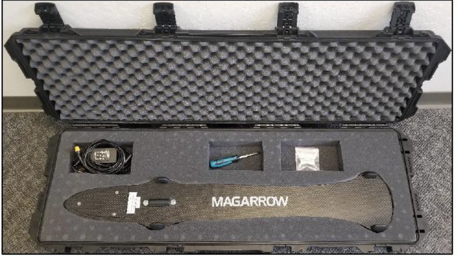
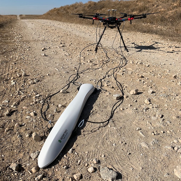
MagArrow is fully self-contained sensor (with build-in GPS receiver, data recorder and battery), and may be used with any suitable UAV suitable to carry 1kg.
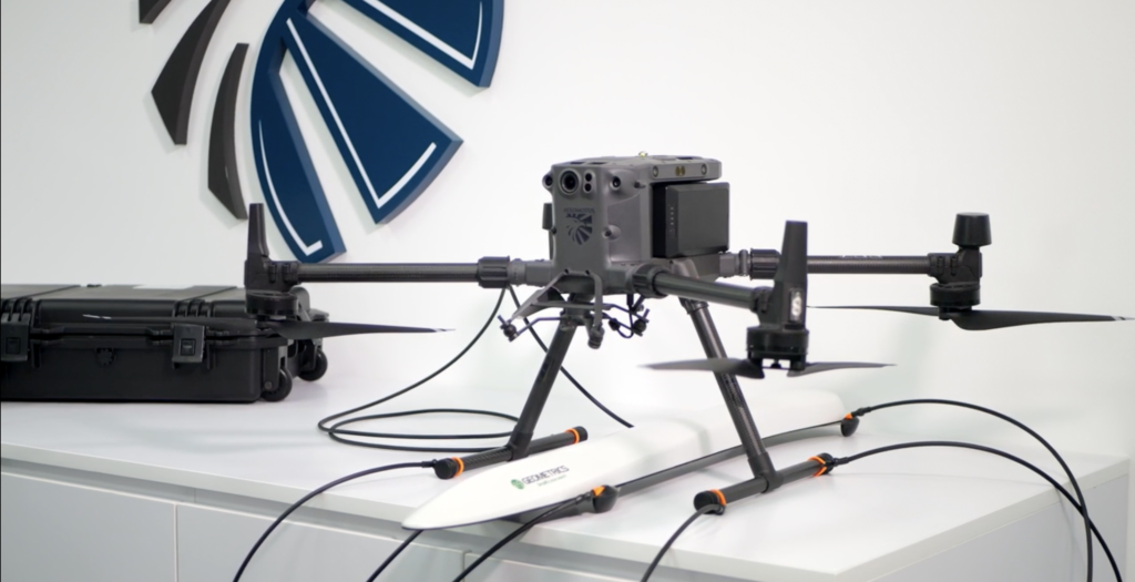
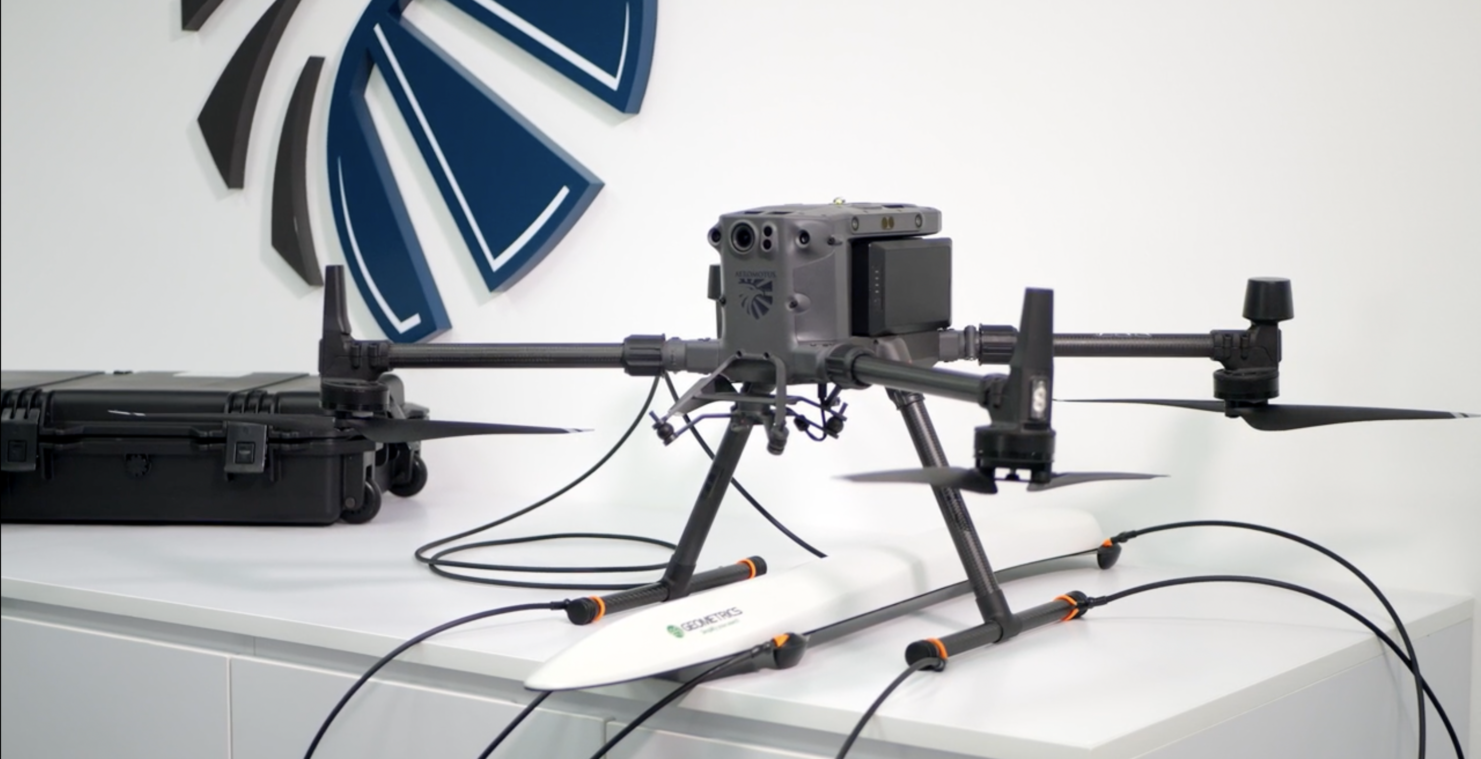
To minimise noises from drone’s motors and electronics, it is recommended to use 3m long suspension ropes to mount MagArrow under the drone. For such configuration it is recommended to use larger drones as DJI M600 Pro or similar, with smaller drones (DJI M300 RTK, etc.) we recommend to use extention poles for the drone’s legs.

Alternative way is to mount MagArrow right on the legs of drone and use low-pass filter during data post-processing to remove drone’s noises. That approach works pretty well for the surveys like UXO search, but for work requires to register weak or long anomalies (archaeology, geology, etc.) it is better to use suspension ropes.

Recommended applications:

  • Environmental (abandoned wells, pipes, and storage tanks)
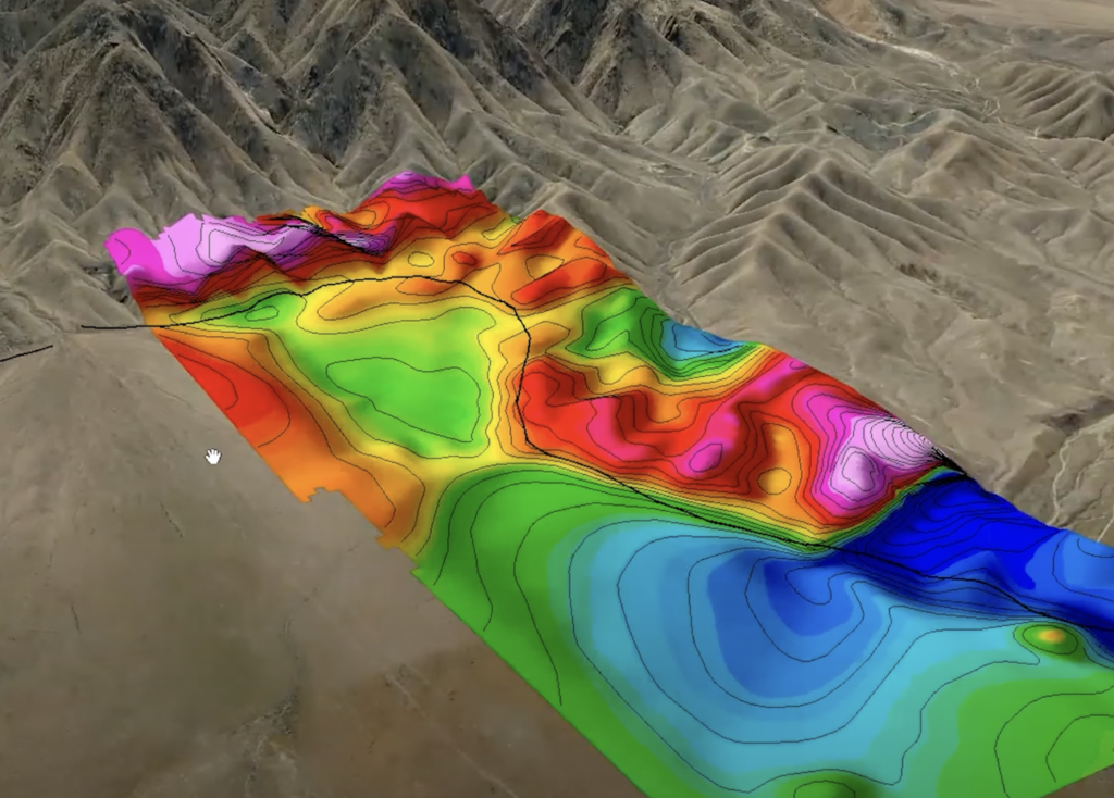
  • Geology – survey for variations in the magnetic field
  • Archaeology – detect weak anomalies from archaeological features and artefacts
  • Searching for UXO (UneXploded Ordnance)

Note, that general rule with magnetometer when it is necessary to detect artificial objects or artefacts – fly as alow as possible. Recommended altitude for the tasks like UXO search – 1m above surface or even lower. That means that drone should be equipped with terrain following system (included in recommended magnetometer bundle).

FEATURES AND BENEFITS

  • Lightweight: Weighs only 1 kg, allowing a flight time 20% longer than a 2.5 kg-payload UAV.
  • UAS Agnostic: Attachable to most enterprise UASs
  • Self-Contained: GPS, storage, and WiFi on board. No data connections to UAV needed.
  • Super-Fast Sampling Rate: Fly faster, up to 10 m/s with samples every 1 cm. Filter out UAV motor noise.
  • QC in the Field: View and QC data in the field using any device with a web browser app interface.
  • Low Power: A single 1800 mAh lithium polymer battery will power the system for 2 hours, outlasting multiple UAV flights. Batteries are hot-swappable.


Operating Principle: Laser pumped caesium vapour (Cs133 non-radioactive) total field scalar magnetometer
Operating Range: 20,000nT to 100,000nT
Operating Zones: Configurable for operating anywhere in the world without dead zones.
Dead Zone: 60º Polar only
Noise/Sensitivity: 0.005nT/√Hzrms
Max Sample Rate: 1000Hz
Bandwidth: 400Hz
Heading Error: ±5nT over entire 360º equatorial and polar spins
Output: WiFi data downloaded over 2.4GHz WiFi access point.
GNSS: Adafruit GPS with 1m accuracy and 10μs timing
Connections: Port for USB flash drive and MicroSD
Data Storage: 32 Gbyte Micro SD card. Not field accessible.
Data format: ASCII XYZ
IMU: Bosh BMI160 Accel/Gyro – 200Hz sample rate
Honeywell HML5983 Compass – 100Hz sample rate
Power: Non-Magnetic 1800mAh Lithium polymer battery
Battery Connection: 2 x XT60 connectors for 206 type batteries.
Operating Temperature: -10ºC to +40ºC
Altitude: up to 3,000m, typically limited by UAV
Humidity: Non-condensing
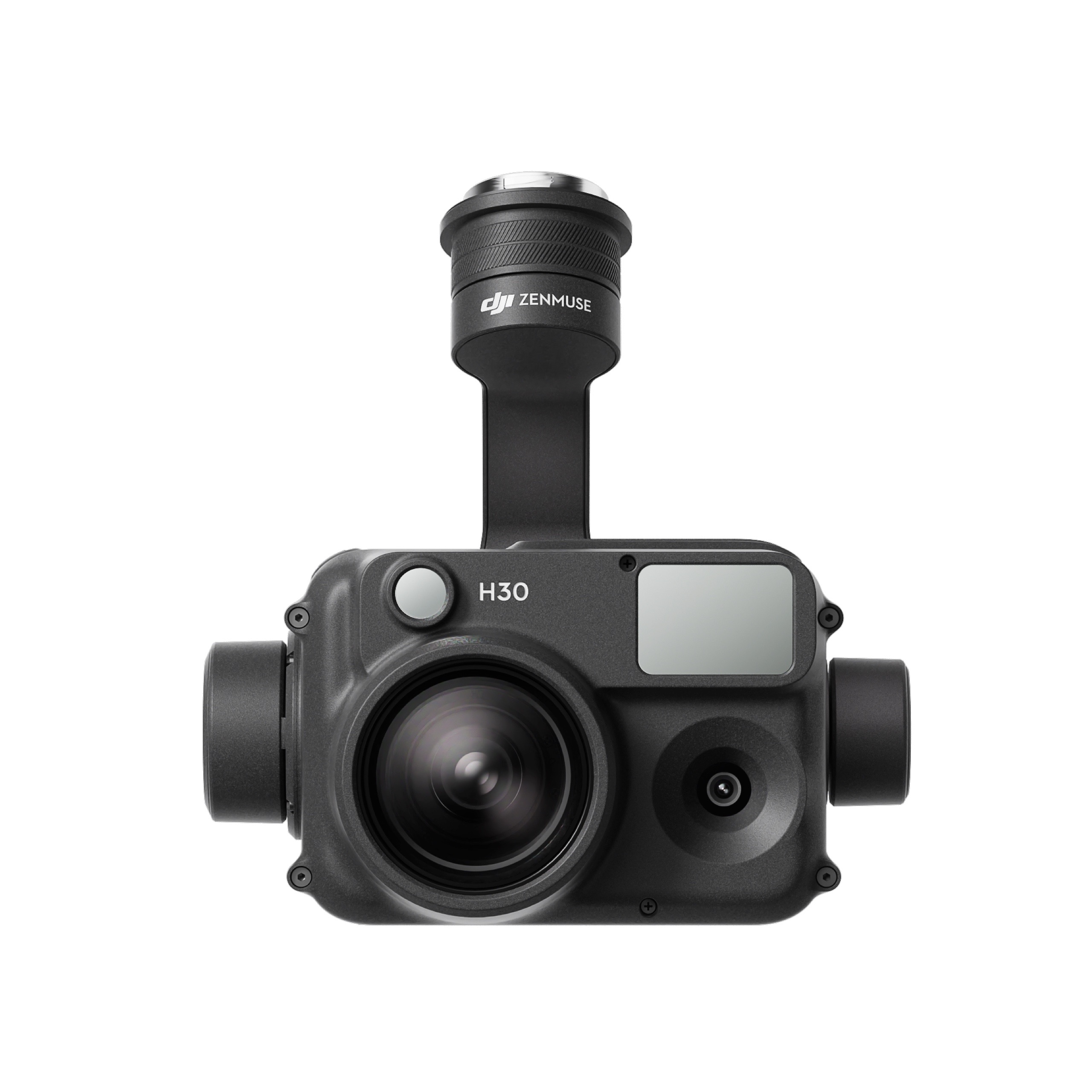
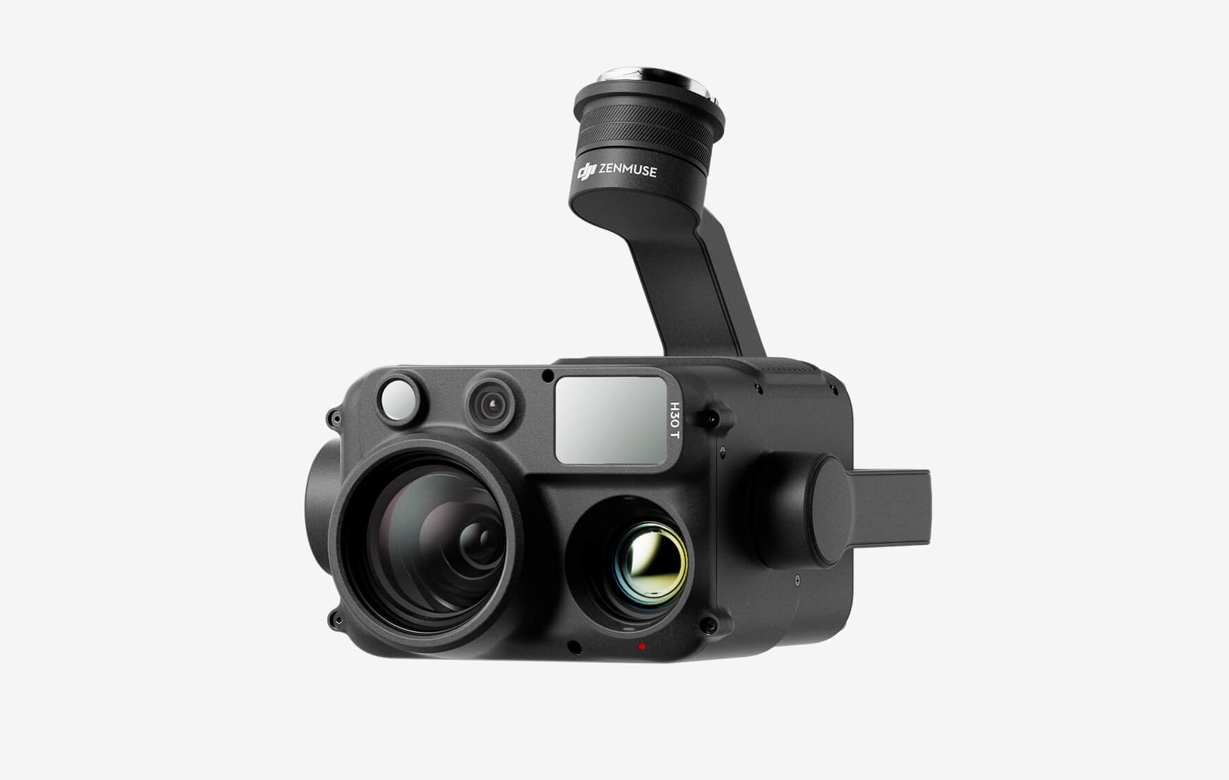
DJI Zenmuse H30T

The all-weather, multi-sensor flagship Zenmuse H30 Series integrates five major modules—a wide-angle camera, a zoom camera, an infrared thermal camera, a laser range finder, and an NIR auxiliary light. Employing cutting-edge intelligent algorithms, it revolutionizes perception and imaging standards, transcending the limitations of day and night vision. This makes it effortlessly suitable for a variety of operations, including public safety, energy inspection, water conservation, and forestry.

Buy
DJI Zenmuse H30

The all-weather, multi-sensor flagship Zenmuse H30 Series integrates five major modules—a wide-angle camera, a zoom camera, an infrared thermal camera, a laser range finder, and an NIR auxiliary light. Employing cutting-edge intelligent algorithms, it revolutionizes perception and imaging standards, transcending the limitations of day and night vision. This makes it effortlessly suitable for a variety of operations, including public safety, energy inspection, water conservation, and forestry.
Buy
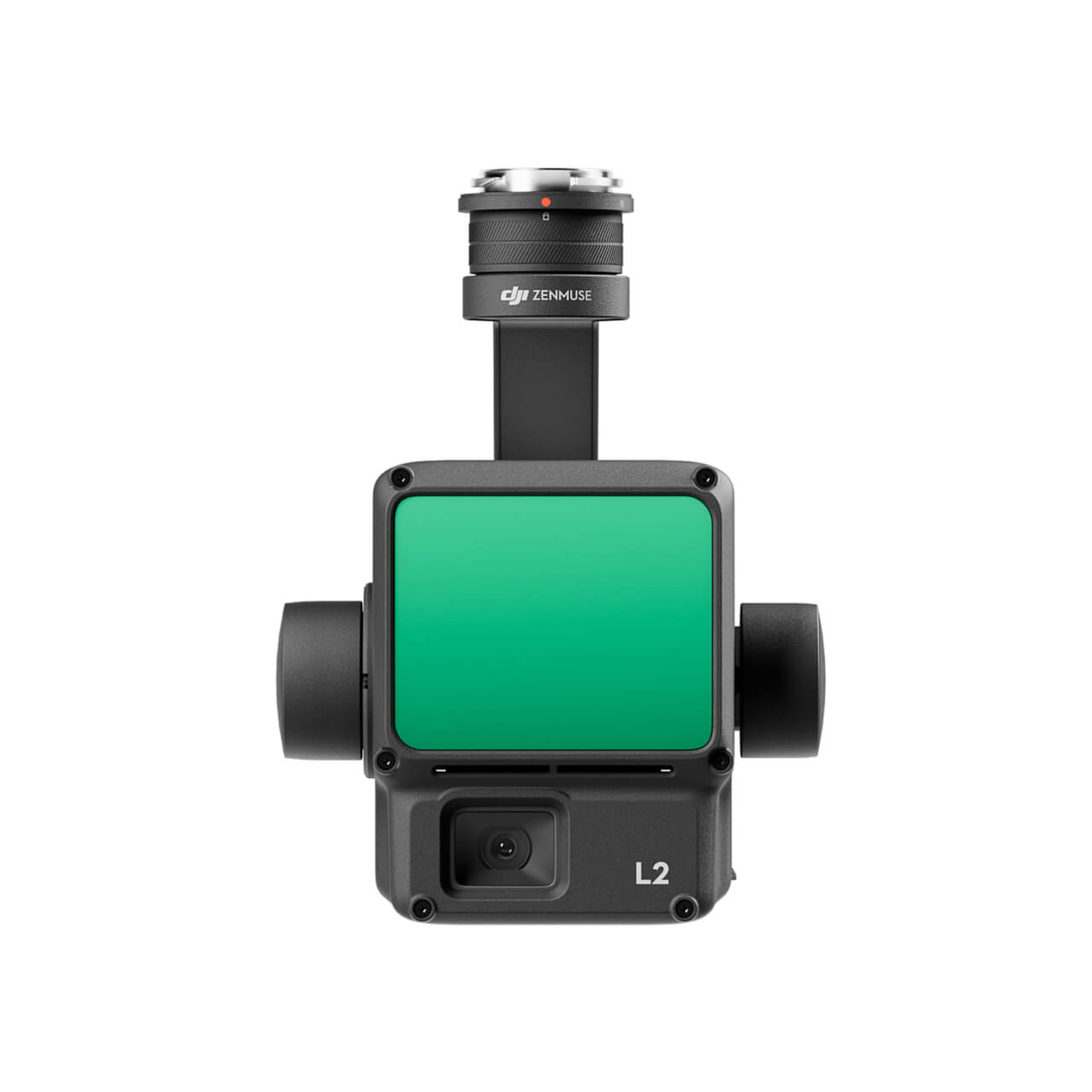
DJI Zenmuse L2 (LiDAR)
  • High Precision
  • Exceptional Efficiency
  • Superior Penetration
  • 250m/450m Detection Range
  • 5 Returns
  • Turnkey Solution
  • Point Cloud LiveView
  • One-Click Processing on DJI Terra
Buy
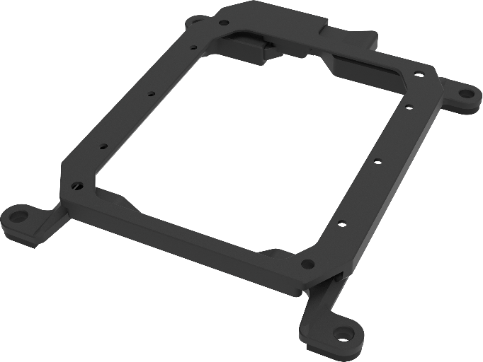
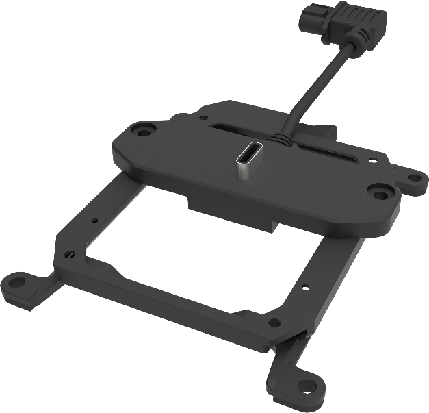
M30 PSDK ADAPTER BRACKET

The PSDK load can be fixed to the M30 series flight platform, and different types of PSDK loads can be quickly removed and replaced.

Buy

Inquire price for

    ×