PiX4D Survey

Bridge the gap from photogrammetry to CAD

Category Tag

Beyond the point
Extract only the most relevant information to simplify your surveying workflows

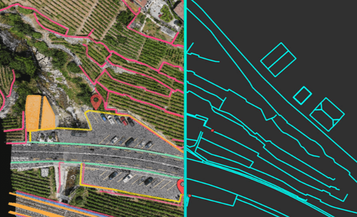
Vectorize anything
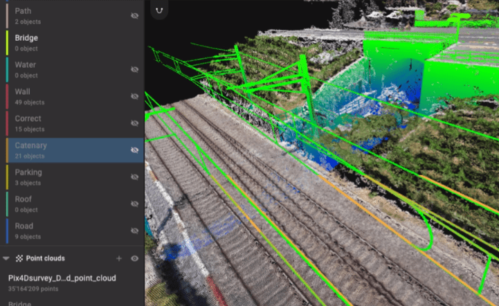
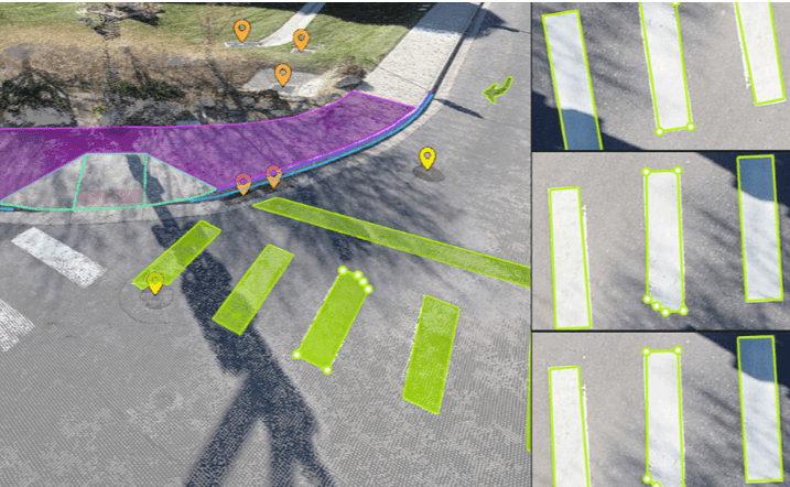
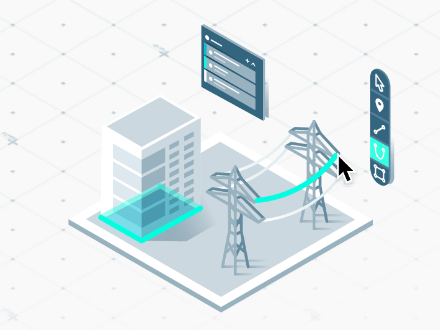
Use the combined power of images and point clouds to extract key elements from photogrammetry and LiDAR data. Survey the bottom and top of curbs, building footprints, walls, catenary curves and more.

Flexible & scalable
Work with small to very large projects. One or many photogrammetry and laser scanning files can be worked on in the same project.
CAD ready
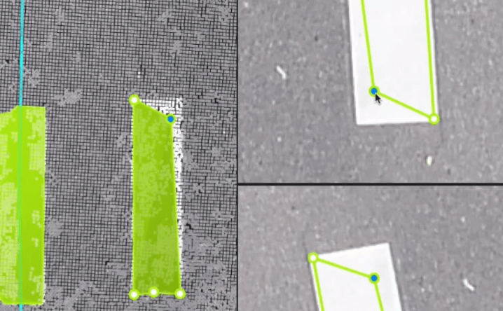
Extract vector files from point data with a reduced file size, layers and properties for a smooth transition to CAD.
Aerial data
Create a point cloud from images in Pix4Dmapper, and drag and drop the .p4d file to Pix4Dsurvey.
Laser scanner or LiDAR
Pix4Dsurvey works with any point cloud formatted as a .las or .laz file.
Category: Tag:

Based on 0 reviews

0.0 overall
0
0
0
0
0

Be the first to review “PiX4D Survey”

There are no reviews yet.

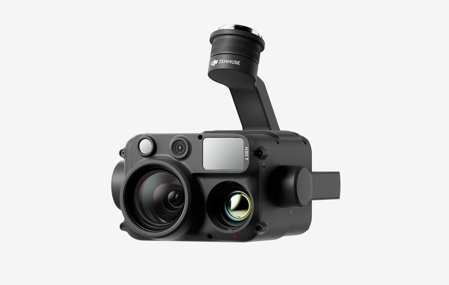
DJI Zenmuse H30T

The all-weather, multi-sensor flagship Zenmuse H30 Series integrates five major modules—a wide-angle camera, a zoom camera, an infrared thermal camera, a laser range finder, and an NIR auxiliary light. Employing cutting-edge intelligent algorithms, it revolutionizes perception and imaging standards, transcending the limitations of day and night vision. This makes it effortlessly suitable for a variety of operations, including public safety, energy inspection, water conservation, and forestry.

Buy
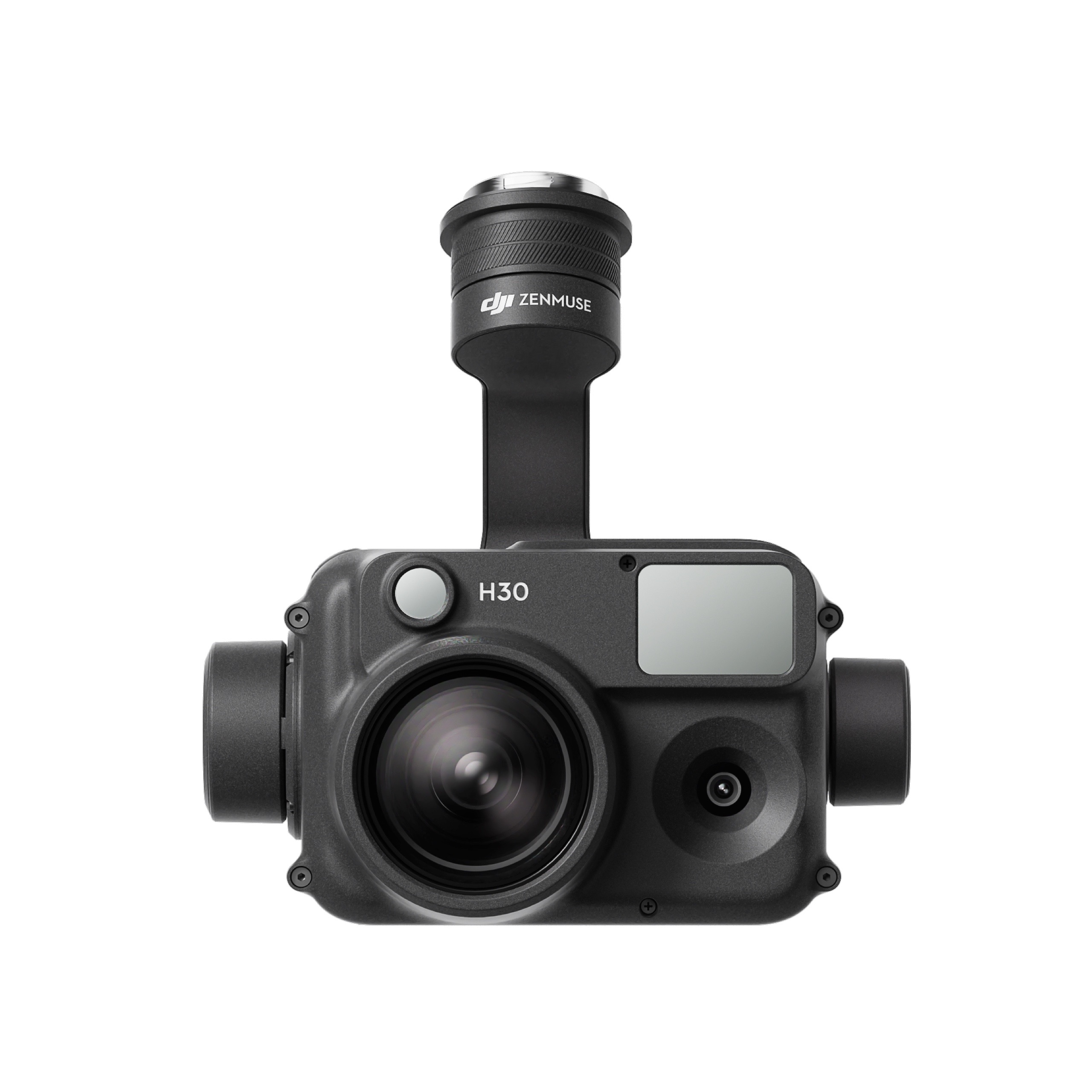
DJI Zenmuse H30

The all-weather, multi-sensor flagship Zenmuse H30 Series integrates five major modules—a wide-angle camera, a zoom camera, an infrared thermal camera, a laser range finder, and an NIR auxiliary light. Employing cutting-edge intelligent algorithms, it revolutionizes perception and imaging standards, transcending the limitations of day and night vision. This makes it effortlessly suitable for a variety of operations, including public safety, energy inspection, water conservation, and forestry.
Buy
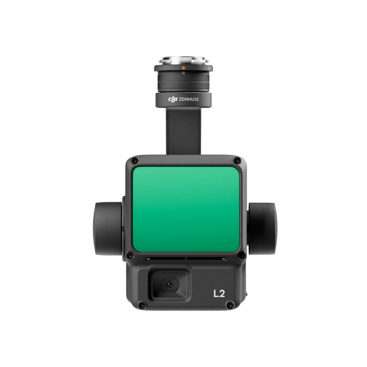
DJI Zenmuse L2 (LiDAR)
  • High Precision
  • Exceptional Efficiency
  • Superior Penetration
  • 250m/450m Detection Range
  • 5 Returns
  • Turnkey Solution
  • Point Cloud LiveView
  • One-Click Processing on DJI Terra
Buy
M30 PSDK ADAPTER BRACKET

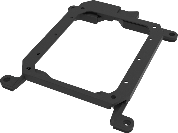
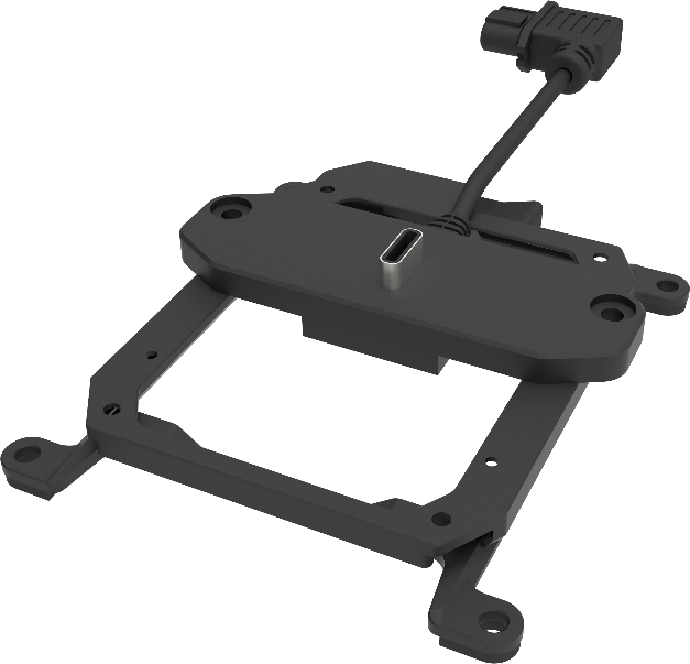
The PSDK load can be fixed to the M30 series flight platform, and different types of PSDK loads can be quickly removed and replaced.

Buy

Inquire price for

    ×